Download
1 / 8
90 likes | 123 Views
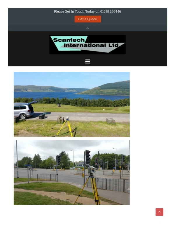
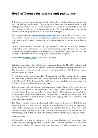
A topographic survey using drones is the latest technique that is used for various purposes. There are many surveying methods available to survey the particular land river, streams, roads, buildings, etc. But, the topographic method is the easiest one and provides 100% accuracy.

E N D
http://www.falcon3dme.com/ http://www.falcon3dme.com/
About There are many methods available to map the Earth around us. The old techniques and the latest techniques have a vast difference. A topographic survey using drones is the latest technique which is used for various purposes. http://www.falcon http://www.falcon3 3dme.com/ dme.com/
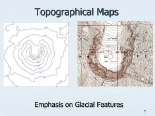
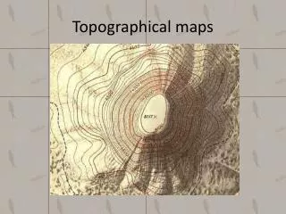
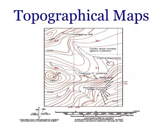
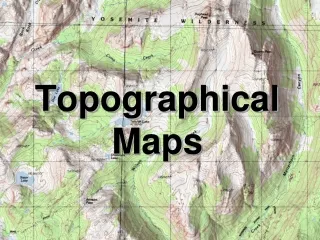
To map the elevation of a particular piece of land at different points, topographic survey are used. After the completion of the survey, the points are illustrated as contour lines on a map or plot. topographic survey Contour lines are used to show the same elevation together to display the elevation and steepness of an individual area of land. This lines can be curved or straight. http://www.falcon3dme.com/ http://www.falcon3dme.com/
This survey consists of comparative positions and elevations of natural as well as man- made features on a property. Rivers, streams, roads, buildings, and lanes can be part of these features. Topographic survey method is used worldwide and this method is very graphical. As this method is used globally, the graphics are the most universally understood types of land surveys in the globe. http://www.falcon3dme.com/ http://www.falcon3dme.com/
What Are They Used For? What Are They Used For? There are many reasons for the popularity of Topographic surveys. Development, Planning and Land use are the three main categories where this survey method is used mostly. This survey can be used for a small project as well as the bigger one. To create the initial design stage, several construction projects start with the topographic survey. With this survey, the builders can come to know about the best suitable are to build the building and they will also come to know about the features that may get in the way. This method is famous for its use in orienteering and hiking. These are the simplest types of maps to understand and navigate from. If you are planning to develop a building in the hilly area, you should survey the elevation and steepness of their surroundings. http://www.falcon http://www.falcon3 3dme.com/ dme.com/
There are many surveying methods available to survey the particular land river, streams, roads, buildings, etc. But, the topographic method is the easiest one and provides 100% accuracy. There are many survey companies available in the market that provides 3D laser scanning services, topographical survey using drone and various other services. List out two or three most reputed companies and ask them for the quotations. Choose the most reliable and affordable one. http://www.falcon3dme.com/ http://www.falcon3dme.com/
Contact US Contact US For more Details Contact Us: Phone: +971 (0) 4 327-1414 Email : info@falconsurveyme.com Office Address: #209, Apricot Tower Dubai Silicon Oasis P.O. Box : 238544, Dubai United Arab Emirates http://www.falcon http://www.falcon3 3dme.com/contact.html dme.com/contact.html