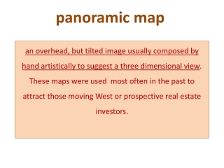
panoramic map
panoramic map. an overhead, but tilted image usually composed by hand artistically to suggest a three dimensional view . These maps were used most often in the past to attract those moving West or prospective real estate investors.

panoramic map
E N D
Presentation Transcript
panoramic map an overhead, but tilted image usually composed by hand artistically to suggest a three dimensional view. These maps were used most often in the past to attract those moving West or prospective real estate investors.
· an overhead, but tilted image usually composed by hand artistically to suggest a three dimensional view. These maps were used most often in the past to attract those moving West or prospective real estate investors. birds-eye map
contour map an overhead image hand-drawn or composed by computer aided design tools used to illustrate elevation changes over a selected geographic space.
panoramic map... an overhead, but tilted image usually composed by hand artistically to suggest a three dimensional view.
birds-eye map... an overhead, two dimensional (2D)image, hand drawn or photographed.
countour... an overhead image used to illustrate elevation changes over a selected geographic space.