Download
1 / 20
200 likes | 299 Views
Addressing the lack of park space in Los Angeles by focusing on redevelopment of vacant lots in the Southwest San Fernando Valley to promote equity and health. Utilizing hot spot analysis and stakeholder collaboration.

E N D
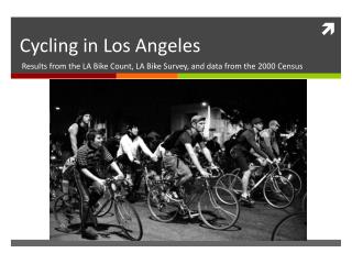
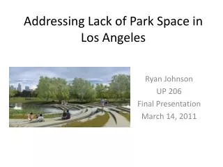
Addressing Lack of Park Space in Los Angeles Ryan Johnson UP 206 Final Presentation March 14, 2011
The Issue • More than 70% of Angelenos lack park access within 1/4 mile of home. • In Los Angeles, white neighborhoods (>75% of residents) boast 31.8 acres of park space for every 1,000 people, compared with 0.6 acres in Latino neighborhoods. • Strong correlations between levels of physical activity and both ethnicity and poverty status.
Objectives • Provide more green space in the City • Focus on West San Fernando Valley • Find suitable vacant lots for redevelopment along the LA River • Address equity and health concerns
Hot Spot Analysis: Index • % Hispanic Population: (x2) • % Foreign Born (Non-Citizen): (x2) • Distance from Park (x2) • % of HH with No Vehicle (x1) • Population Density (x1) • % Under 18-years-old (x1) • Median HH Income (x1)
Recommendations • Develop the vacant lot adjacent to Canoga High School • Collaborate with river revitalization organizations
Skills used • Required: • Original Data: • The SW San Fernando Valley shapefile, from the larger LA Communities file • Measurement/Analysis: Maps 10a-c • Measured ½ mile from the vacant lots, then drew a circle around the lots. • Hotspot Analysis: Index of Park Need • Model: Slide 17 (Features to Rasters) • Metadata : Slide 18 • Others: • Inset Map • Geoprocessing: • Clipping– multiple • Dissolve – Dissolved the interior lines when making the SW SFV shapefile • Buffering: • Around the parks • Around vacant lots • Boundary sub-sets selections: Creating SW SFV neighborhood • “SwSFV” was derived by selecting tracts in the View from LA Communities shapefile and converting to a new shapefile • Attribute sub-sets selection: • Created the shapefile of vacant lots along LA River by selecting Lots within the SW SFV boundary that intersect with the LA River • Created new “LA River” shapefile by querying for “los angeles river” in the LA County Rivers file and exporting the result as a new shapefile • Point Graduated Symbol • Pct Under 18
Sources • SimplyMap: demographic data • LA County: Parks shapefile, LA County Boundary, Rivers shapefile, vacant parcels • UCLA Mapshare (Freeway map) • US Census • ESRI • Sherer, Paul. (2003). “Why America Needs More City Parks and Open Space.” The Trust for Public Land.