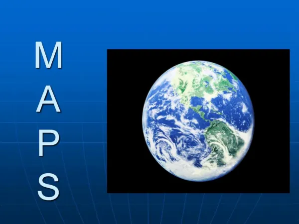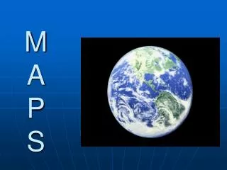
M A P S
200 likes | 385 Views
M A P S. Stacie Ellerbrock, Mollie Fitzpatrick and Brianna Miller ED417, Winter 2008. Map Unit. Third Grade Reading maps. Objective #1. Students will identify components of a map, such as title, key, compass, and symbols. Objective #2. Students will use a map to find given locations.

M A P S
E N D
Presentation Transcript
Stacie Ellerbrock, Mollie Fitzpatrick and Brianna Miller ED417, Winter 2008
Map Unit Third Grade Reading maps
Objective #1 • Students will identify components of a map, such as title, key, compass, and symbols.
Objective #2 • Students will use a map to find given locations.
Objective #3 • Students will identify and describe the landforms, climate, vegetation, population, and economic characteristics.
Objective #4 • Students will use a compass rose and cardinal directions to describe the relative direction of places.
Websites • United States Map • Map Practice • U.S. Map Race • Map Skills Handout • World Map
Activity #1 Materials • Me on the Map by Joan Sweeny • Large white paper • Markers and/or crayons • Rulers • Pencils
Activity #1 • Read aloud Me on the Map by Joan Sweeny. • Discuss as a group the location of their town on the map. • Have the children design a map of their classroom in small groups.
Activity #2 Materials • Flat Stanley by Jeff Brown and Scott Nash • White paper • Crayons and/or markers • Envelopes • Postage stamps
Activity #2 Materials Continued • Addresses of relatives (to be obtained from parents) • Copies of teacher’s letter to relatives
Activity #2 • Read Flat Stanley by: to the children. • Have the children make their own Flat Stanleys to mail to two relatives. • Include a letter with the Flat Stanleys asking for the relatives to write about a day they spent with Flat Stanley. Also ask the relatives to mail the Flat Stanleys back to the class.
Activity #2 Continued • When the class starts receiving the Flat Stanley’s back place them on a map to see where Stanley has traveled. • Discuss as a class where Stanley has all traveled and if he had been at one place more than once.
Activity #3 Materials • Copies of map grid • Crayons and/or markers • Rulers • Pencils • Example of map grid (book or overhead) • Various other art materials
Activity #3 • Using a map grid, have the children design a map of an imaginary country including all the required symbols: • Compass Rose • Key • Grid labels • Title • One water source • Five cities • Three different landmarks
Activity #4 Materials • Introducing Landforms by Bobbie Kalman • Example of flip book • Construction paper of various colors • Textured paper • Scissors • Markers/crayons • Glue • Pencils
Activity #4 • Read aloud Introducing Landforms and discuss as a class. • Have children make a flip book of the various landforms (mountains, valleys, plains, rivers, etc) using various materials.
Activity #5 Materials • Copies of city map • Handout of questions to be answered • Pencils
Activity #5 • Provide students with a map of their city. • Have the students use coordinates to determine locations of important places in their city. • Have the students describe the relative direction of various places in the city from their school