Download
1 / 17
170 likes | 290 Views
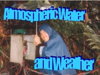
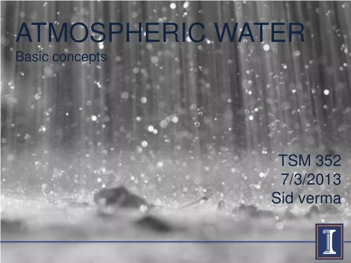
ATMOSPHERIC WATER Basic concepts. TSM 352 7/3/2013 Sid verma. HYDROLOGY | themes | atmospheric water. “Water present in the atmosphere either as a solid (snow, hail), liquid (rain) or gas (fog, mist )” Topics Cloud formation Precipitation types Measuring precipitation

E N D
ATMOSPHERIC WATER Basic concepts TSM 352 7/3/2013 Sid verma
HYDROLOGY | themes | atmospheric water • “Water present in the atmosphere either as a solid (snow, hail), liquid (rain) or gas (fog, mist)” • Topics • Cloud formation • Precipitation types • Measuring precipitation • Evaporation types • Areal precipitation methods
Cloud formation If temperature > 0oC , dew point is reached and vapor condenses into water droplets If temperature < 0oC , frost point is reached and sublimation starts turning water vapor into ice Relative humidity reaches 100% at a certain height Cool air cannot hold as much water vapor as warm air as it’s Saturation Vapor Pressure is lower Moist air Moist air Sun’s heat It expands and cools down at about 1oC/100m Transpiration Dry air is less dense and therefore it rises Evaporation Heated air Heated surface
Generation of precipitation Warm cloud Cold cloud Water vapor Water vapor SUBLIMATION EVAPORATION CONDENSATION EVAPORATION Large and heavy enough to fall ? Ice crystals Supercooled water droplets Water droplets Large and heavy enough to fall ? YES SUBLIMATION CONDENSATION YES CONDENSATION SNOW Water vapor Water vapor RAIN
Precipitation types • Precipitation as a result of local heating of air at the earth’s surface is called convective precipitation • Active in tropical areas and interiors of continents • Precipitation is often local and intense (thunderstorms) • When horizontal air currents are forced to rise over natural barriers such as mountains, orographic precipitation occurs • Precipitation falls on the windward side • Leeward side is the other side which is a precipitation shadow area
Precipitation measurement A rain gauge (also known as an udometer, pluviometer, ombrometer) is a type of instrument used by meteorologists and hydrologists to gather and measure the amount of liquid precipitation over a set period of time. A weighing-type precipitation gauge consists of a storage bin, which is weighed to record the mass. The standard NWS rain gauge, developed around the start of the 20th century, consists of a funnel emptying into a graduated cylinder, 2 cm in diameter, that fits inside a larger container which is 20 cm in diameter and 50 cm tall. The tipping bucket rain gauge consists of a funnel that collects and channels the precipitation into a small seesaw-like container. After a pre-set amount of precipitation falls, the lever tips, dumping the collected water and sending an electrical signal.
Areal precipitation • Predicting watershed response to a given precipitation event requires knowledge of the average rainfall that occurs over the watershed in a specified duration • This involves design of a network of rain gauges • Not many rain gauges are needed specially in flat watersheds • Three basic methods exist to derive areally averaged values from point rainfall data: • Arithmetic mean • Thiessen polygon method • Iso-hyetal method • Areal precipitation can also be estimated based on radar estimates, specially in areas without the presence of adequate rain gauges
Areal precipitation | arithmetic mean 2.0” 1.2” • Method is satisfactory when • Gages are uniformly distributed • Individual variations aren’t far from mean rainfall • Applied to smaller watersheds • Rainfall distributions are not variable 1.8” 1.0” Watershed with rain gages and monthly rainfall for February in inches
Areal precipitation | thiessen polygon 2.0” Thiessen polygons are built up by drawing midlines, perpendicular bisectors, between rain gages on a map Value of rainfall measured by a rain gauge is assigned to the area surrounding it Multiplying the rainfall by its representative area, summing the products for all rain gages and dividing by total area gives weighed average of precipitation over the area 1.2” 1.8” 1.0” Watershed with rain gages and monthly rainfall for February in inches
Areal precipitation | iso-hyetal method When rainfall is highly variable, or when high accuracy is required more rain gages are needed Iso-hyetal method involves drawing of contour lines with equal rainfall depth (iso-hyets)It’s a little arbitrary to make iso-hyets and may require experience Topography and storm patterns are helpful in making iso-hyets Rainfall calculation is based on finding average rainfall between each pair of contours, multiplying by the between them, totaling these products and dividing by total area 30mm 20mm 10mm Watershed with rain gages and monthly rainfall for February in inches
Areal precipitation | thiessen polygon B 2.0” Value of rainfall measured by a rain gauge is assigned to the area surrounding it Multiplying the rainfall by its representative area, summing the products for all rain gages and dividing by total area gives weighed average of precipitation over the area C 1.2” 1.8” A D 1.0”
Evaporation types • There are three key types of evaporation: • Interception loss • Precipitation that is intercepted by vegetation evaporates back to the atmosphere • Soil evaporation • Water that evaporates from a wet soil surface • Transpiration • Water that evaporates through the plant stomata • Potential evaporation is the maximum evaporation rate in mm/day when moisture content of the soil and vegetation conditions do not limit evaporation i.e. under unstressed conditions
Evaporation measurement A low budget and direct way to estimate evaporation rate, on days without any precipitation is to use a pan filled with water and to measure the height of water in the pan for 2 consecutive days at exactly the same time A lysimeter is a device used to obtain values of potential or actual evaporation It’s made of steel, concrete or plastic and is dug into the ground, in which a volume of soil with some vegetation is hydrologically isolatedby preventing any leakage The position of water level in the lysimeter is monitored and regulated by pumping In weighing lysimeters change in water storage is determined by the difference of mass of the lysimeter
Water balance For any hydrological system, a water budget can be developed to account for various flow pathways and storage components. The hydrological continuity equation for any system is: Where = inflow in L3/t = outflow in L3/t = change in storage per time in L3/t Evaporation Change in storage in specified time period Precipitation Transpiration Surface Runoff Groundwater flow
Water balance | example problem For a given month a 300acre lake has 15cfs of inflow, 13cfs of outflow and a total storage increase of 16 ac-ft. A USGS gage next to the lake recorded a total of 1.3 in. precipitation for the lake for the month. Assuming that the infiltration loss is insignificant for the lake, determine the evaporation loss, in inches, over the lake for the month. in. in.
REFERENCES • Introduction to Physical Hydrology, Martin R. Hendricks • Hydrology and Floodplain Analysis, Bedient, Huber and Vieux • National Geographic Magazine • www.wikipedia.org