Seamless Ortho Imagery Implementation for FSA Services
110 likes | 234 Views
Discover the transformative approach to GIS implementation through seamless ortho imagery provided by the USDA/FSA Service Center. Our user-friendly ortho image base, featuring edge-matched and tone-matched mosaicked digital orthophoto quadrangles (DOQs), ensures quality assurance and the best start for digitizing field boundaries. Designed for efficient access, the localized data supports FSA applications while overcoming bandwidth limitations. Tiling in 7.5" quads and compressing into County Mosaic (MrSID) further enhances usability, making it ideal for Fayette County and surrounding areas.

Seamless Ortho Imagery Implementation for FSA Services
E N D
Presentation Transcript
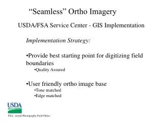
FSA - Aerial Photography Field Office “Seamless” Ortho Imagery • USDA/FSA Service Center - GIS Implementation • Implementation Strategy: • Provide best starting point for digitizing field boundaries • Quality Assured • User friendly ortho image base • Tone matched • Edge matched
LS5 8/02/2000
FSA - Aerial Photography Field Office “Seamless” Ortho Imagery • USDA Service Center - GIS Implementation • Current Environment: • Distribution/Access • Data can/should be local for FSA applications • ArcView 3.2 • Limited bandwidth into field service centers
FSA - Aerial Photography Field Office “Seamless” Ortho Imagery • Mosaicked DOQs (MDOQs) • Edge Matched and Tone Matched • within counties • within UTM zones • Tiled in 7.5” quads • Compressed into County Mosaic (MrSID)
FSA - Aerial Photography Field Office “User Friendly” - Tone Balancing Fayette County, Kentucky DOQs Fayette County, Kentucky M DOQS/Compressed County Mosaic
FSA - Aerial Photography Field Office Tone Balancing MDOQs DOQs
FSA - Aerial Photography Field Office Edge Matching - QA for Digitizing FSA field boundaries MDOQs DOQs