Download
1 / 9
90 likes | 230 Views
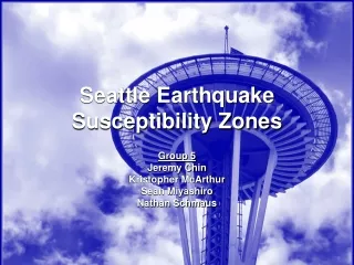
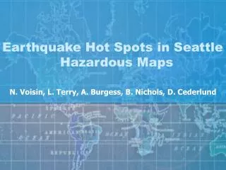
Earthquake Hot Spots in Seattle Hazardous Maps. N. Voisin, L. Terry, A. Burgess, B. Nichols, D. Cederlund. Objective. Seattle Seismic Zones through Seattle 563,374 People Live in Seattle Installations at Risk Buildings Gas Lines Roads Mapping of Hazardous Zones

E N D
Earthquake Hot Spots in Seattle Hazardous Maps N. Voisin, L. Terry, A. Burgess, B. Nichols, D. Cederlund
Objective • Seattle • Seismic Zones through Seattle • 563,374 People Live in Seattle • Installations at Risk • Buildings • Gas Lines • Roads • Mapping of Hazardous Zones • High, Medium, and Low Risk
Soil Types, 40% Unconsolidated: High Risk Moderate: Medium Risk Consolidated: Low Risk
Distance to Faults, 20% 0 to 1,500 feet: High Risk 1,501 to 10,000 feet: Medium Risk >10,000 feet: Low Risk
Liquefaction and slopes, each 20% Within Both Zones: High Risk Within One Zone: Medium Risk Outside Both Zones: Low Risk Liquefaction Steep Slope Zone Zone
Final Hazardous Map High Risk Medium Risk Low Risk
Conclusion: High Risk Areas Lisette’s House (High Risk; Built before 1940) West Seattle (Alki Beach at High Risk) Downtown Seattle (Alaskan Way Viaduct at High Risk)
Conclusion: What will Seattle Do? • Use Map to Mitigate Emergency Response • Provide Firefighters and Police with Shortest Routes to High Risk Areas • Mayor Greg Nickels decided to build the Tunnel to replace the Alaskan Way Viaduct and Seawall; both are in High Risk Zone due to Soil Conditions