Download
1 / 16
160 likes | 178 Views
This article discusses the advances and best practices in airborne gravimetry from the US GRAV-D Project, including data collection, processing, and improvements in accuracy. It also highlights the use of high-quality gravity data in redefining the American Vertical Datum.

E N D
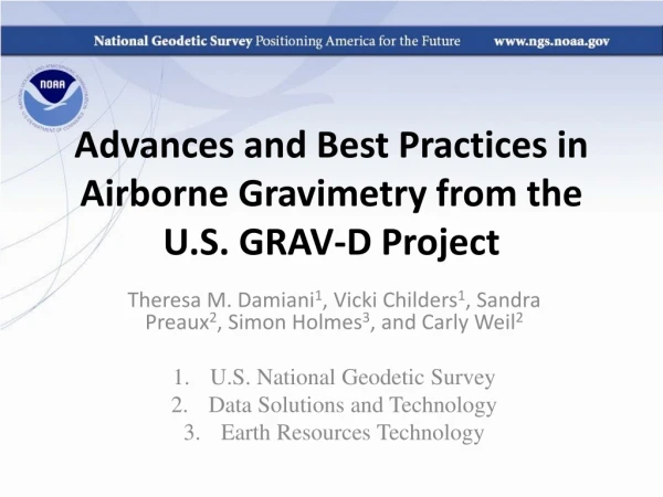
Advances and Best Practices in Airborne Gravimetry from the U.S. GRAV-D Project Theresa M. Damiani1, Vicki Childers1, Sandra Preaux2, Simon Holmes3, and Carly Weil2 U.S. National Geodetic Survey Data Solutions and Technology Earth Resources Technology
What is GRAV-D? • Program critical to U.S. National Geodetic Survey’s (NGS’) mission to define, maintain, and provide access to the U.S. National Spatial Reference System • Gravity for the Redefinition of the American Vertical Datum • Official NGS policy as of Nov 14, 2007 • Re-define the Vertical Datum of the USA as a gravimetric geoid by 2022 (at current funding levels) • Airborne Gravity Snapshot • Absolute Gravity Tracking • Target: 2 cm accuracy orthometricheights EGU Conference
Requirements • To achieve the target 1-2 cm accuracy of the geoid will require: • GRACE and GOCE • Highly accurate (1 mGal) airborne gravity data across the nation • Improved terrestrial gravity data • Accurate residual terrain modeling • Geoid theory and spectral data blending • Re-evaluate sources of error in airborne gravity methods: collection (3 slides) and processing (3 slides). • After five years and > 27% of the country surveyed, significant improvements have been made: Case Study: 2008 Alaska Survey (6 slides).
Data Collection Best Practices • Remove Gravity Tie Bias Uncertainty • Measurements at Aircraft Parking Spot: • Absolute Gravity (Micro-g LaCoste A-10) • Vertical Gravity Gradient (G-meter and “G-pod”) G-meter w/ Aliod Parking spot ID A-10 “G-pod”
Data Collection Best Practices • Gravimeter very close to center of gravity of aircraft • Navigation Grade IMU, mounted on top of TAGS • Multiple High-rate GNSS receivers on aircraft (GPS/GLONASS) • Lever Arm between instruments with surveying equipment Micro-g LaCoste TAGS Gravimeter NovAtel SPAN-SE w/ Honeywell µIRS IMU
Data Collection Quality Control • >5 years, 14 operators, and 7 aircraft: Requires standardized checklists, worksheets, instructions, logbooks; Test Flights • Quality Control Guidelines: Troubleshooting Guides, Operating Specifications, and Visualization Tools
Gravity Processing Advances • Past (1960s through 1980s): • Low & slow flights (low altitude, low velocity) • Less computation power resulted in use of small angle approximations and dropped terms in gravity correction equations • Desired < 10 mGal error, biases ok • GRAV-D: • High altitude, high velocity, desire as close to 1 mGal as possible • Recognition of OfflevelCorrection Limitations • Better Filtering • Discrete Derivatives • GPS and IMU research for positioning, aircraft heading/attitude calculations, and inputs to gravity corrections • Still Ongoing!
Gravity Processing Advances Example: Eotvos Correction • Acceleration of a moving object in a rotating reference system Centrifugal Variation in rotation rate Coriolis Relative acceleration • Harlan 1968 • - defines r and ω in terms of latitude, longitude and ellipsoidal height • - 1st order approximation drops all terms <1 mgal to get an overall error <10 mgal Vertical Acceleration Eötvös Correction
U.S. Latitudes: 30 to 50 degrees N; Europe Latitudes: 35 to 55 degrees N High & Fast Low & Fast Low & Slow
Case Study: Alaska 2008 http://www.ngs.noaa.gov/GRAV-D/data_products.shtml • Crossover differences of same 202 points for all versions • Airborne gravity compared with EGM2008 at altitude
Crossover Difference Maps Newton (IMU) AeroGrav Newton (no IMU)
Crossover Statistics • From 2008 to 2012: • 65.0% Decrease in Range • Mean about the same (within error range) • 61.5% Decrease in Standard Deviation • Increased Internal Consistency of Airborne Data, solely due to data processing advances
Difference with respect to EGM2008 NGS Terrestrial Gravity Newton (no IMU) AeroGrav Newton (IMU)
High-frequency Spectral Analysis • Create three GRAV-D airborne gravity ellipsoidal harmonic models (with EGM2008 outside the area) out to n=2159. • Inside the survey area, compare airborne models with increasing n from 360 to 2159 with EGM2008 (always n=2159) • This modeling is for evaluation purposes only. Model 1: AeroGrav n=2159 Model 2: Newton (no IMU) EGM2008 N=2159 GRAV-D n=361 GRAV-D n=362 GRAV-D n=360 GRAV-D n=2159 Model 3: Newton (IMU) EGM2008
2008 to 2012 Improvement Childers et al., 1999 Estimated Resolution n≈1450 13.8 km n≈1700 11.75 km 55 km 27 km 18.5 km 14 km 11 km 9 km
Thank You • Airborne Gravity Data Products Portal: • http://www.ngs.noaa.gov/GRAV-D/data_products.shtml • More information: • http://www.ngs.noaa.gov/GRAV-D • Contacts: • Dr. Theresa Damianitheresa.damiani@noaa.gov • GRAV-D Program Manager, Dr. Vicki Childersvicki.childers@noaa.gov Green = Blocks Available for Download