Download
1 / 26
270 likes | 355 Views
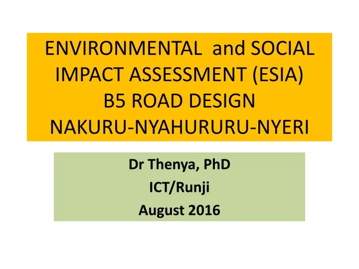
ENVIRONMENTAL and SOCIAL IMPACT ASSESSMENT (ESIA) B5 ROAD DESIGN NAKURU-NYAHURURU-NYERI. Dr Thenya , PhD ICT/ Runji August 2016. Section 1-5: Nakuru Town – Bahati (Mairu Kumi Junction) Section. B5/A104 junction marked by trade mark Jacarada tree –preserve during dualling

E N D
ENVIRONMENTAL and SOCIAL IMPACT ASSESSMENT (ESIA)B5 ROAD DESIGNNAKURU-NYAHURURU-NYERI DrThenya, PhD ICT/Runji August 2016
Section 1-5: Nakuru Town – Bahati (Mairu Kumi Junction) Section • B5/A104 junction marked by trade mark Jacarada tree –preserve during dualling • Consideration of preservation of Jacaranda trees where possible
Section 1-5: Nakuru Town – Bahati (Mairu Kumi Junction) Section • Terrain -strongly influenced by the escarpment structures such as Menengai crater to the west of the road • Road receives substantial flood water - from the escarpment • Small culverts and are generally choked due to silting • Soils are highly erodible resulting in major gulleys • Rurii near the chief’s camp • Dust management necessary - nearby Chiefs camp is unbearable in terms of dust
Section 1-5: Nakuru Town – Bahati (Mairu Kumi Junction) Section • Experience seismic activities associated with land formation activities of Cainozoic era • Bahati forest junction called Ahero seismic activities are common and cracks on building are report • Bahati Forest not affected Project area 4-5 Descends to Subukia and then fast ascent –High forest cover (private land) Subukia area - 1967 suffered the highest seismicity in the Country -7 on the Richet scale
Section 2-5: Bahati – Western Outskirts of Nyahururu (MairoKumi Junction to Kaburi Junction) • Subukia area – swampy area- • Cyperuslatifolia, smart weed-Polygonumspp, herbs like Sphaeranthsusspp, and Cattail -Typhadomingensis among other wetland plants • Soil deposition and flooding • Drainage across the road provision to avoid flooding the town
Subukia escarpment section Chania river Subukia escarpment area improvement, wetlands, pillar
Section 2-5: Bahati – Western Outskirts of Nyahururu (MailoKumi Junction to Kaburi Junction) • Road construction in the 1960s, heavy property destruction by rock bolders • Prone to soil and rock mass movement no major rivers these water sources should be protected during construction. (avoided in the new road design, road follows old ROW)
Section 3-5: Western outskirts of Nyahururu, through Nyahururu town up to Eastern outskirts of Nyahururu (Kaburi Junction to MailoInya Junction)
Nyahururu Northern Realignment Thro golf course- Nyahururu Roundabout Improvement along Existing Nyahururu Southern Realignment Would pass through Ol Bolossat Nyahururu Roundabout
Lake Ol Bollosat Wetland Most sensitive of all the section in terms of ecology Lake Ol Bolossat and Nyahururu falls • Avoid directing storm water • Raised barrier for hippo
Section 3-5: Western outskirts of Nyahururu, through Nyahururu town up to Eastern outskirts of Nyahururu (Kaburi Junction to Mairo-inya Junction) • 87 species of water birds have been recorded • Lake is a breeding site for Red-knobbed Coot Felica cristata, African Jacana Actophilornis africanus, Blacksmith Plover Vanellus armatus, Black-winged Plover V. melanopterus, African Snipe Gallinago nigripennis, Yellow-billed Duck Anas undulata, Red-billed Duck A. erythrohychna, Purple Swamphen Porphyrio porhyrio and Grey Crowned Crane Balearica regulorum • Kenya’s 61st Important Bird Area (IBA) by the National Liaison Committee on IBAs in 2008 (Sharpe’s Longclaw (endanegered) and Jackson’s Widowbird Near threatened) • Maccoa Duck Oxyura maccoa –endangered • Home to several hippopotamus (barrier to avoid hippos on road) • Drainage water should be directed to Nyahururu falls not to wetland
Ndaragwa forest –indigenous forest (Olea Africana, Podocarpusfalcatus, Prunus Africana, sandalwood,)– encroached and allocated in 1980s • ROAD not touching forest • Box culvert for wildlife necessary here Eastern Outskirts of Nyahururu – to Kimathi University Entrance (Mailo-inya Junction to outskirts of Nyeri Town) • Ewaso forest –indigenous not affected • Undulating landscape- dry ecological zone 3 • Low threat of erosion here • Promote water harvesting from the road flood water • Many season rivers but high water volume seasonally • Water harvesting-pans
Section 4-5: Eastern Outskirts of Nyahururu – to Kimathi University Entrance (Mairo-inya Junction to outskirts of Nyeri Town) Wildlife Issues –cross the road at Solio Underpass box caravat • Crossing between Aberdares and Dryland used for wildlife Between Ndaragwa and Kimathi – 5 wildlife crossing points (high box culvert necessary)
Section 4-5: Eastern Outskirts of Nyahururu – to Kimathi University Entrance (Mairo-inya Junction to outskirts of Nyeri Town) Kabiru-ini forest - exotic plantation with species like Cupressuslusitanica. The forest also hosts the annual Nyeri county agricultural show ground, having been moved from Ruringu stadium in 1995 Kimathi University Wild Life Conservancy. Both not effected by road improvement
Section 5-5: Kimathi University Entrance – Nyeri Town – Marua B5/A2 Junction Nyeri othaya junction, swampy area • marshy vegetation along rivers in the valley bottom • Efforts should be made to mitigate siltation • Provide adequate drainage and stone pitched to the nearest river • Several tree nurseries, could be used for replanting Chania river Swamp area, should not be dumping sites Githwariga Wetland-Nyeri-Othaya junction Thunguma river wetland • Soil erosion high – loamy soils- stone pitched drainage to nearest river for management of flood water • Eucalyptus and Grevillea robusta, replace where cut • Hilly terrain -High density farming activities
Section 5-5: Nyeri town to Marua B5/A2 Junction Marua section steep gradient Private forested areas Soil erosion and mass movement prone Stone pitched storm water drainage
Eastern Bypass NYERI TOWN Improvement Planned Under Draft Feasibility Western Bypass Section 5-5: Nyeri town to Marua B5/A2 Junction-bypasses • 1.6 Proposed Eastern Bypass
Nyeri Eastern Bypass Marua B5/A2 Junction • Initially-on the lower side of Kimathi university • Km.153+930 • Disqualified devided University into two
Section 5-5: Nyeri Eastern Bypass Marua B5/A2 Junction • Coffee, Natural vegetation • Conservation area –private • Steep deep river valley • Kimathi area- coffee • Several fig tree(mugumo) several • Confluence of chania and Muringato • Wide riparian area • Steep crop land • Erosion likely high • Good embankment • Tree cropland
Section 5-5: Nyeri Eastern Bypass Marua B5/A2 Junction Conservacy on Ndegwa farm
Start before Kimathi UniversityRoad going to Nyaribo airport Confluence Chania and Muringato Muringato river
Cross Cutting Issues • Dust management during construction- water spray • Signage in good time and distance during and after construction • Storm drainage management to avoid erosion • Adequate notice to public on construction activities commencement • Contract implementation of ESMP Next step • Comments or views: Dr Thenya • tthenya@yahoo.co.uk, 0721471082 (Prefered in writin