Download
1 / 12
120 likes | 207 Views
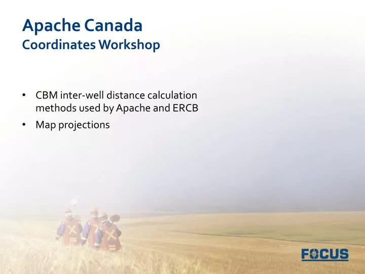
Apache Canada Coordinates Workshop. CBM inter-well distance calculation methods used by Apache and ERCB Map projections. Apache calculation. Latitude and longitude of first point is A1 & B1 Latitude and longitude of second point is A2 & B2 The arc distance can be computed as:

E N D
Apache CanadaCoordinates Workshop • CBM inter-well distance calculation methods used by Apache and ERCB • Map projections
Apache calculation • Latitude and longitude of first point is A1 & B1 • Latitude and longitude of second point is A2 & B2 • The arc distance can be computed as: Arccos [cos(A1)cos(B1)cos(A2)cos(B2) + cos(A1)sin(B1)cos(A2)sin(B2) + sin(A1)sin(A2)]/360 * 2Pi * r • In navigation, this is a great circle distance between two points on the surface of a sphere
ERCB calculation • Gov’t uses ATS ver 4.1 (MATS 2005) for lat/lon of the nearest section corner • ‘Metes and bounds’ from section corner used to validate lat/lon of the surface location • Directional/horizontal survey used to compute lat/long of the bottom hole • Latitude and longitude of the bottom hole are projected onto a 10TM map projection in their GIS • A 3 km buffer circle is created around the control well • Wells to be licensed more than 3 km from the control well are non-compliant • ERCB is using a 10TM map grid distance between the wells
The 10TM distance • Text Text
Metadata – where would you be without it? • Lat: 51.536004° • Lon: -113.750871°
Metadata – where would you be without it? • North: 5712793.0 • East: 309282.9 • UTM Zone 12
Recommendations • Inverse between NAD83 UTM coordinates as shown on well site plan for well license application • Use online tools as a check
Online Resources • Natural Resources Canada – Geodetic Tools • http://www.geod.nrcan.gc.ca/tools-outils/index_e.php • http://www.geod.nrcan.gc.ca/apps/indir/inverse_e.php • Movable Type Scripts – Great Circle Distance • http://www.movable-type.co.uk/scripts/latlong.html • United States Geodetic Survey – “Map Projections: A Working Manual” • http://pubs.er.usgs.gov/usgspubs/pp/pp1395 • The Geographer’s Craft – Map Projections • http://www.colorado.edu/geography/gcraft/notes/mapproj/mapproj_f.html • Moving to NAD83: Impacts and Issues for Oil and Gas Companies… • http://www.cseg.ca/conventions/abstracts/2002/2002abstracts/Callaghan_S_Boudreault_D_Moving_To_NAD83_BUS-1.pdf • CAPP: Migrating from NAD27 to NAD83… • http://www.divestco.com/getdoc/0556a64e-f05f-4a61-a0c4-e6046d67b4a6/CAPP_Migrating-from-NAD27-to-NAD83.aspx