Download
1 / 13
130 likes | 319 Views
Aaron Sauer and Jeong APLNG 083T. Geo-Everything Technology. Geo-Everything. Everything on Earth’s surface has location—expressed in two coordinates Easy to capture/determine exact location Geolocation, geotagging, and location-aware devices Geolocative data can be manipulated.

E N D
Aaron Sauer and Jeong APLNG 083T Geo-Everything Technology
Geo-Everything • Everything on Earth’s surface has location—expressed in two coordinates • Easy to capture/determine exact location • Geolocation, geotagging, and location-aware devices • Geolocative data can be manipulated
Geotagging (geolocation) • Associate digital resource w/ physical location • Adding geographical meta data to photos, RSS feeds, and websites • Define coordinate, location name, etc • Refer to the location the page/photo is about
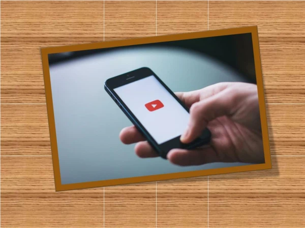
Mobile and web-based services • Radar • News, blog posts, restaurant reviews, etc • Buzzd • Local Info + user ratings and tips • http://www.youtube.com/watch?v=94FePaLyPag • Trak and Twinkle—mobile Twitter clients • Add location to tweets • indicate friends • Show tweets
Cont. • Collage • Upload geotagged photo • Browse photos nearby or around the world • Mobile Fotos • Flickr browser/ uploader app • Geotag photos before upload to Flickr
Don’t have a device w/ built-in geolocative capability? • Many other options • Free or Inexpensive tools to capture and display geolocative data are available • Photo Finder by ATP Electronics • Nikon GP-1 • Google Maps • Google Earth • Flickr Maps
Photo Finder by ATP Electronics and Nikon GP-1 • Capture GPS data and synchronize it to a camera’s data card to geotag the photos automatically. • Won’t have to think where you took the picture • Track the exact location and time of where your pictures were taken • Photo Finder • Nikon GP-1
Google Maps and Google Earth • Who has used Google Maps and/or Google Earth? • Anywhere in the world • Google Maps - iPhone -Labeling Streets, Neighborhoods, Buildings • Google Earth - satellite imagery, maps, terrain, 3D buildings
Flickr Maps • Viewers can see at a glance what tags are currently being applied in a given region. • http://www.flickr.com/map • Search anything you want • Pictures from all over the world uploaded to Flickr
Education • Study migrations of animals, birds and epidemics • Data can include weather, population and urban development • Study and track trends/patterns • Create annotated maps and real- world locations related to works of literature • The Travels of Marco Polo
Virtual geocaching • Placing media in an online “drop box” and tagging it with a specific geographic location • Drop.io Location • geocode your collection of content—“drop” • embedded map • use a GPS to go to coordinates and find a cache
Pros & Cons • Broader access to greater amount of info (ex. field research opportunities, social networking) • Geotagging ideal for retail sites and tourism sites • Privacy issue • Data overload
Questions • What would you most use the technology for? • What did you learn today that you didn’t know before?