Download
1 / 11
120 likes | 150 Views
Learn about cold, warm, stationary, and occluded fronts, high and low-pressure systems in the context of weather patterns. Understand how different air masses interact and impact weather conditions.

E N D
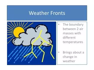
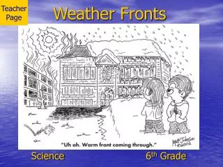
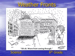
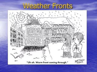
Weather Fronts and Pressure Systems 7th Grade Science Mr. Bombick
Outline • Fronts • Cold • Warm • Stationary • Occluded • Pressure Systems • High • Low
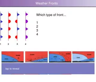
Cold Fronts • The cooler, denser air wedges under the less-dense warmer air, lifting it. • This upward motion causes lowered pressure along the cold front and can cause the formation of a narrow line of showers and thunderstorms when enough moisture is present. • On weather maps, the surface position of the cold front is marked with the symbol of a blue line of triangles/spikes pointing in the direction of travel.
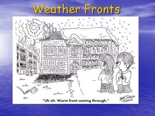
Warm Fronts • The forward edge of an advancing mass of warm air that replaces colder air, usually while causing steady precipitation. • Warm fronts usually move more slowly than cold fronts. • On weather maps, the surface location of a warm front is marked with a red line of half circles pointing in the direction of the front.
Stationary Fronts A stationary front is a boundary between two different air masses, neither of which is strong enough to replace the other. On a weather map, this is shown by a series of blue spikes pointing one direction and red domes pointing the other. They tend to remain essentially in the same area for extended periods of time, and waves sometimes propagate along the frontal boundary. A wide variety of weather can be found along a stationary front, but usually clouds, prolonged precipitation, and storm trains are found there. Stationary fronts will either dissipate after several days or devolve into shear lines, but can change into a cold or warm front if conditions change.
Occluded Fronts An occluded front is formed during the process of cyclogenesis when a cold front overtakes a warm front. When this occurs, the warm air is separated (occluded) from the cyclone center at the Earth's surface. A wide variety of weather can be found along an occluded front, with thunderstorms possible, but usually their passage is associated with a drying of the air mass. Occluded fronts are indicated on a weather map by a purple line with alternating semicircles and triangles pointing in direction of travel. Occluded fronts usually form around mature low pressure areas.
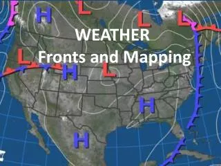
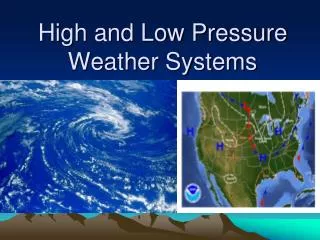
High Pressure System A high-pressure area is a region where the atmospheric pressure at the surface of the planet is greater than its surrounding environment. Winds within high-pressure areas flow outward due to the higher density air near their center and friction with land. Due to the Coriolis effect, winds flow clockwise around a high-pressure area located in the northern hemisphere. High-pressure areas are generally associated with cooler, drier air as well as clearing skies.
Low Pressure System A low pressure area, or "low", is a region where the atmospheric pressure at sea level is below that of surrounding locations. The formation process of a low pressure area is known as cyclogenesis. Atmospheric lift will also generally produce cloud cover once the air becomes saturated as it rises, although the low pressure area typically bring cloudy skies, which act to minimize diurnal temperature extremes. The stronger the area of low pressure, the stronger the winds which are experienced in its vicinity.