Download
1 / 2
20 likes | 173 Views
FGDC Marine Boundary Working Group FY 07 Report. Cindy Fowler, NOAA Coastal Services Center Steve Kopach, MMS Mapping and Boundaries Branch. Summary of Accomplishments. Purpose and responsibilities of the group

E N D
FGDC Marine Boundary Working GroupFY 07 Report Cindy Fowler, NOAA Coastal Services Center Steve Kopach, MMS Mapping and Boundaries Branch
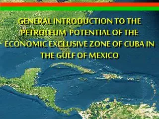
Summary of Accomplishments • Purpose and responsibilities of the group • The MBWG, through its membership and collaborative efforts, fosters integrated approaches to the legal and geospatial descriptions of marine boundaries and mapping of marine boundary features within the territorial waters of the United States. • Current Status • The working group is currently active with approximately 25 active members and over 100 subscribed to our list server. The work plan is on track. • Accomplishments in 2007 • Published a prototype of the multipurpose marine cadastre (MMC) web mapping viewer • Sponsored and held a special mapping session at the International Submerged Lands Management Conference • Continued to develop a comprehensive list of marine boundary data, agencies of responsibility, and associated legislation and regulations • Distribute over 2000 copies of the Marine Managed Areas: Best Practices for Boundary Making Handbook • Emerging Issues • Developing a distributed system for marine boundaries and associated data is always a challenge due agency specific and technological issues. This is a focal area that the working group will continue to pursue. • Next Steps • Outreach for the Marine Managed Areas: Best Practices for Boundary Making Handbook • Continued sponsorship of the International Submerged Lands Management Conference • Developing the Multipurpose Marine Cadastre (MMC)—a system for visualizing and distributing national marine boundaries and supporting data to support decision making on the continental shelf • Engaging states and NGOs in the activities of the Marine Boundary Working Group