Download
1 / 28
280 likes | 535 Views
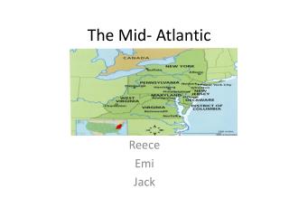
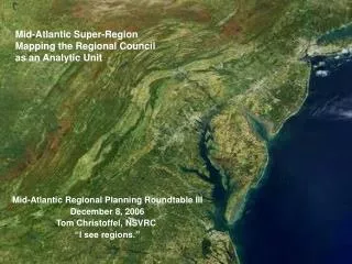
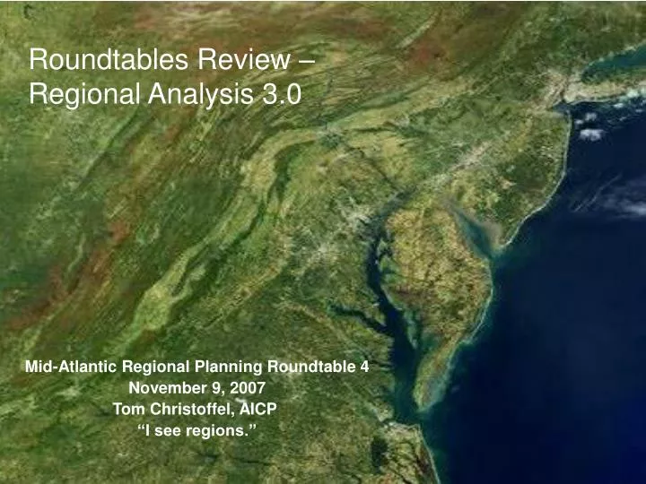
Roundtables Review – Regional Analysis 3.0. Mid-Atlantic Regional Planning Roundtable 4 November 9, 2007 Tom Christoffel, AICP “I see regions.”. Roundtable I – October 21, 2005 - Middletown, Virginia - Northern Shenandoah Valley.

E N D
Roundtables Review – Regional Analysis 3.0 Mid-Atlantic Regional Planning Roundtable 4 November 9, 2007 Tom Christoffel, AICP “I see regions.”
Roundtable I – October 21, 2005 - Middletown, Virginia - Northern Shenandoah Valley • Northern Shenandoah Valley Regional Commission response to Wash COG 2030 projections • Impacts perceived of continued growth • Strong impact since 9/11 • Region may not want to continue to supply labor and be affordable housing solution • Other outlying regions interested in the conversation • Why were we concerned about the Mid-Atlantic?
Area – Roundtable IBegin looking at the Mid-Atlantic as Regions This is where we started
Presentations • Metropolitan Washington Council of Governments • Baltimore Metropolitan Council • Northern Virginia Regional Commission • Rappahannock-Rapidan Regional Commission - Warrenton – Culpeper • Northern Shenandoah Valley – Front Royal – Winchester • Eastern Panhandle – Region 9 - Martinsburg – Charles Town • Region 8 – Romney, WV
Super-Region Label - Issue Areas • Multi-State Transportation Corridors - 9/340/I-81/270/I-95/ • Hazard mitigation • Metro Evacuation • Homeland Security • Air Quality • Water - ground and surface (ICPRB) • Vision/Scenario/Alternatives (from a local region process related to those in other regions) • Infrastructure • Broadband • Regional Policy • No new bypasses in metro region puts more pressure on existing roads. • Freight & Multi-modal/multi-state freight/rail and ports • Labor chain - everyone imports labor from outside their region - no surplus of labor even at the fringes
Roundtable II – February 17, 2006 Washington, D.C.Presentations • Tri-county Southern Maryland – • George Washington – then RADCO – Fredericksburg – • WILMAPCO - Wilmington Area Planning Council • Kent/Dover MPO • Tri-county Western Maryland • State perspectives on Transportation - Virginia DOT - Maryland DOT
County to County Work-flows: 2000 CTPP Future? Region to Region work flow like WILMAPCO Sussex
Roundtable III – BaltimoreParticipation area grows – NARC, NADO & AMPO Co-sponsor
Roundtable III – December 8, 2006 Baltimore, MDPresentations • Mid-Atlantic Regional Analysis • Air Quality – Air Pollution Transport - Maryland Department of the Environment and Air Quality Planning Branch, EPA - Region III • Delaware Valley Regional Planning Commission PA-NJ • Lancaster County, PA – Growth Management Plan • Thomas Jefferson – Charlottesville Freight Movement Study - Commonwealth's Multimodal Transportation Planning Office • Integrated Corridor Analysis Tool (ICAT) - I-95 Corridor Coalition Next Sponsor? – APA Regional & Intergovernmental Planning Division
Regional 3.0? • 1998 National Regional summit – NARC • Opinion of experts – regionalism had failed in the U.S. • I knew our region worked. • No interest in a single layer of Regions as Virginia had • Search for perfect set of regional boundaries. • 2007 – “We really don’t know how to do regional planning.” Ron Thomas, Calgary, Canada
Regional Communities • The emergence of Regional Community – the sense of being a “community of communities” had become operational in PD-7. The PDC was another layer of community. • Northern Shenandoah Valley gave a recognizable name that contributed to the alignment built into Virginia. • Looking to geography, there were many criteria for regions – watershed, bioregion, culture, economy, etc. – most acted like political boundaries were mistakes.
State as Region County – substate Region • In 1967, W.G. East wrote: “There is only one region-the surface of the earth-on which mankind finds its home.” • Gwilliam Law – Administrative Subdivisions of Countries – U.S. only States listed, not counties. Why? Counties too unstable. States are semi-autonomous regions. • This led to a scale approach.
Local-Regional Scale – A Proposal Thought: “Local is whole. All politics are local. When a regional geography is whole, it becomes local, the local region”
Roundtable 4 – FredericksburgNovember 9, 2007 • Mid-Atlantic – New Jersey, Pennsylvania, Delaware, Maryland, District of Columbia, Virginia, West Virginia • What about the Bos-Wash Mega-Region? • Old news - Jean Gottmann's book Megalopolis: The Urbanized Northeastern Seaboard of the United States in 1961. 1971 - Bos-Rich? Bos-Fork? • Mid-Atlantic Super-Region? Colonial U.S. Network. • American Planning Association organized with Division and State Chapters to do Multi-State Regional Planning Roundtables in the U.S. • Mid-Atlantic Regional planning analysis
Loss of countryside – viewshed? Region land area less Federal and State Lands – including Urban Areas
Overall density in 2005 drops when Urban areas pulled out – with time series we could see better the sprawls as build out occurs.
Contact Tom Christoffel, AICP E-mail: tom.christoffel@gmail.com Phone: 540-636-8800 x 209