Download
1 / 21
210 likes | 230 Views
This round table focuses on establishing a list of hydrometeorological sites and supersites for the EOP/SOP, describing scientific aims, instruments, and contact points.

E N D
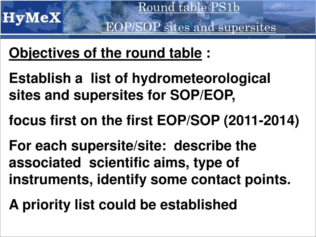
Round table PS1b EOP/SOP sites and supersites Objectives of the round table : Establish a list of hydrometeorological sites and supersites for SOP/EOP, focus first on the first EOP/SOP (2011-2014) For each supersite/site: describe the associated scientific aims, type of instruments, identify some contact points. A priority list could be established
Round table PS1b EOP/SOP sites and supersites A common definition/language for HyMeX site and supersite ?
Round table PS1b EOP/SOP sites and supersites « super-sites » = Research watersheds of some 10-km² dedicated to process studies From an “hydrological” point of view CVMHO Valescure CVMHO Lez-Coulazou ORE Draix-Bléone Granites and schists Limestones Marls Water budget and Karsts and fresh water resources Erosion and Flash-flood genesis Karsts and floods Solid transport
Round table PS1b EOP/SOP sites and supersites « pilot-sites » = Research watersheds of some 1000-km² dedicated to distributed observation and modelling studies at the regional scale From an “hydrological” point of view Pilot-site Gardon (2000 km²) Super-site Valescure (5 km²) Gardon de Saint Jean (200 km²)
Round table PS1b EOP/SOP sites and supersites Ardèche Cèze Gardon Hérault Vidourle Orb Aude Agly Têt « sites » = Target areas affected by same hydrometeorological events From an “hydrological” point of view Site Pilot-site
Round table PS1b EOP/SOP sites and supersites « sites » = Target areas affected by same hydrometeorological events From a “meteorological” point of view Site
Round table PS1b EOP/SOP sites and supersites « super-sites » = a specific location gathering research intruments for study of given processes From a “meteorological” point of view Low-level inflow supersite (RS, GPS, UHF/VHF wind profilers, lidar ?) no pilot-site, but rather transect and instruments covering all the site (radar) ?
Round table PS1b EOP/SOP sites and supersites « super-sites » = a specific location gathering research intruments for study of given processes From a “meteorological” point of view Other possible upwind supersites
Round table PS1b EOP/SOP sites and supersites « sites » = Target areas affected by same hydrometeorological events From an “ocean” point of view Major sites of dense Water formation Major sites of deep Water formation Influence of coastal waters Site
Round table PS1b EOP/SOP sites and supersites « super-sites » = a specific location gathering research intruments for study of given processes From an “ocean” point of view Dense water formation and deep convection supersite (buoy, mooring)
Round table PS1b EOP/SOP sites and supersites Inventory of hydrometeorological sites and supersites
3rd HyMex Workshop, 1-4 June 2009 WG4: Intense sea-atmosphere interactions
Hydrometeorological sites - HPE and Flash-flood sites FV DA CV LG SA LR CR CR VA BA ?
Upwind sites Possible HPE sites CV LG VA
3rd HyMex Workshop, 1-4 June 2009 North-western Mediterranean EOP deep moorings in the NW Med slope moorings WG4: Intense sea-atmosphere interactions
3rd HyMex Workshop, 1-4 June 2009 Aegean-Cretan Sea and Levantine basin EOP Deep water formation: *instrumentation/strategy (HCMR-Univ. Athens) ** Two existing and a new proposed at Rhodes Gyre (HCMR) ***Monitor BSW outflow (Univ. Aegean) Gliders* CTD Surveys* Buoys** HF Radar *** with 02 measurements ? WG4: Intense sea-atmosphere interactions
3rd HyMex Workshop, 1-4 June 2009 Production of NAdDW Dispersion of NAdDW transects CTD Adriatic Sea SOP • Air-sea interactions & water budget: • Same as EOP • Aircraft in the southern Adriatic The Bora research to date has been mainly focused on the dynamics and structure of severe Bora in the northern Adriatic. Examined to a significantly lesser degree is a less predictable counterpart in the southern Adriatic, where the Dinaric Alps are higher, broader, and steeper, and where the upwind Bora layer is generally less well defined. (Horvath at all, 2009, Weather and Forecasting) Split Ancona Dubrovnik Bari 3 ADCP Water budget WG4: Intense sea-atmosphere interactions
Round table PS1b EOP/SOP sites and supersites Hydrometeorological sites –Dense water formation strong winds Adriatic site Gulf of Lyons site Aegean site