Download

1 / 2
20 likes | 48 Views
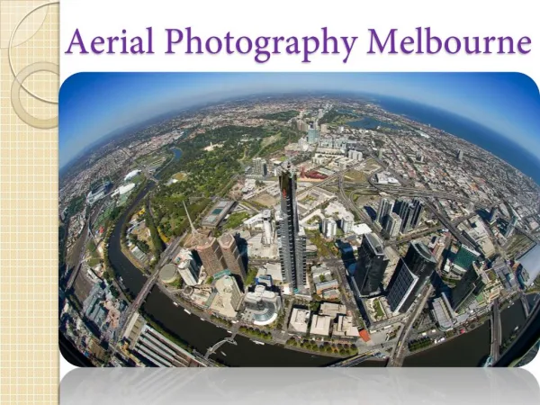
Aerial photography interpretation is the process of analyzing aerial images to determine the information they contain. Aerial photography can provide valuable information about various subjects, including topography, land-use patterns, and urban development. By interpreting aerial photography, it is possible to get comprehensive details about the land beneath the images. https://domlockaerials.com/<br>

E N D
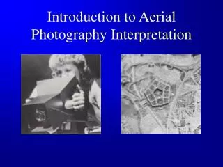
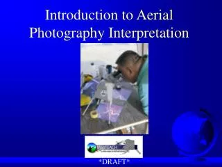
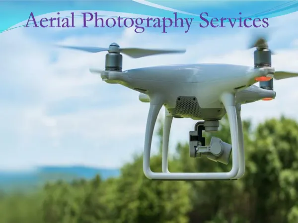
Aerial Photography Interpretation: Applications and Importance Aerial photography interpretation is the process of analyzing aerial images to determine the information they contain. Aerial photography can provide valuable information about various subjects, including topography, land-use patterns, and urban development. By interpreting aerial photography, it is possible to get comprehensive details about the land beneath the images. How does aerial photography interpretation work? Aerial photography interpretation begins with the identification of features in the images. The features commonly used by professional aerial photography interpreters include roads, rivers, artificial structures, vegetation, and topography. After the identification of vital features, the interpreter can begin to analyze the data contained in the images. It involves looking at the patterns created by the features and the changes or trends in the landscape over time. The information gathered from aerial photography interpretation can be used for different purposes. It can be used to map out the terrain for land-use planning, monitor environmental changes, or locate potential sites for development. It can also be used to evaluate potential hazards or contamination and to create accurate maps of a given area. Interpreting aerial photography requires an understanding of the data contained within the images. The interpreter must be familiar with the techniques used to capture the perfect pictures and be able to identify the various features they contain. The skills and experience of professional interpreters enable them to recognize any changes that have occurred in the landscape over time. Practical uses of aerial photography interpretation services Aerial photography is a powerful tool for the visual representation of the earth’s surface. It is used for a variety of purposes, including surveying and mapping, urban planning, environmental monitoring, search and rescue, and disaster response. Following are some vital details of applications we discussed here:
Surveying and mapping:Aerial photography is used to create detailed maps of the earth’s surface, including roads, buildings, rivers, and other features. This data can be used for route planning, navigation, and land management. Urban planning: Aerial photography is used to assess existing infrastructure, plan new developments, and track changes in land use over time. It can also be used to identify potential hazards such as flooding or landslides. Environmental monitoring: Aerial photography is used to monitor, and detect changes in land cover over time. It can be used to identify areas of deforestation, desertification, and other changes. Search and rescue: Aerial photography can be used for locating missing people or objects. The data can be used to identify areas of interest and resources can be deployed to search those areas. Disaster response: Aerial photography help assess the extent of damage caused by natural disasters such as floods, earthquakes, and hurricanes. This information can be used to determine the best way to respond and allocate resources effectively. Final Words Aerial photography interpretation is a valuable tool for many different applications. It can help to provide a better understanding of an area and to monitor changes in the landscape. By understanding the data contained within aerial images, it is possible to gain a comprehensive understanding of the land beneath them. Reach out to skilled professionals offering aerial photography interpretation services with years of experience to get accurate details.