Download
1 / 15
230 likes | 625 Views
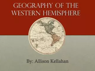
Geography of the Western Hemisphere. What is geography? Study of the Earth and its features including human life and effects of human activity Where is the Western Hemisphere?. Seven Continents. North America South America Europe Asia Africa Australia Antarctica . Four Oceans.

E N D
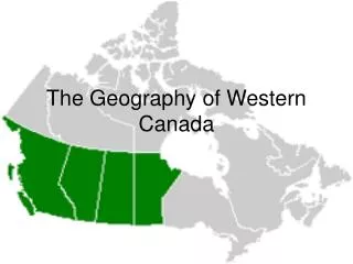
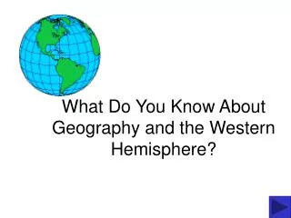
Geography of the Western Hemisphere • What is geography? • Study of the Earth and its features including human life and effects of human activity • Where is the Western Hemisphere?
Seven Continents • North America • South America • Europe • Asia • Africa • Australia • Antarctica
Four Oceans • Atlantic • Pacific • Indian • Arctic
Compass Rose • Never Eat Slimy Worms
Directions • Cardinal Directions: • North • South • East • West • Intermediate Directions: • Northeast • Northwest • Southwest • Southeast
Latitude • Measure distance north and south of the equator • Called parallels
Lines of Latitude • 90º N- North Pole • 66 ½º N- Arctic Circle • 23 ½º N- Tropic of Cancer • 0º- Equator • 23 ½º S- Tropic of Capricorn • 66 ½º S- Antarctic Circle • 90º S- South Pole
Climate Zones • Tropical- from Tropic of Cancer to Capricorn; very HOT! • Temperate- from Tropic of Cancer to Arctic Circle and Tropic of Capricorn to Antarctic Circle; mild • Polar- near the poles; very COLD
Longitude • Lines that measure distance east and west of the Prime Meridian • Prime Meridian- 0° • Located in Greenwich, England • International Date Line- 180°
Latitude, latitudeLines go round and roundMeasuring northMeasuring south From the equatorLatitude, latitude,Lines go round and roundMeasuring north,Measuring southThose lines of latitude. Longitude, longitudeLines go up and downMeasuring east,Measuring westFrom the prime meridianLongitude, longitude,Lines go up and downMeasuring east,measuring westThose lines of longitude
Political Map- shows boundaries and names of states and countries
Find Latitude and Longitude • Miami, Florida ___________________ • Salt Lake City, Utah ______________ • Minneapolis, Minnesota______________ • Salem, Oregon _________________
Landforms • Bay • Canyon • Coast • Gulf • Island • Lake • Marsh • Mountain Range • Peninsula • Plain • Plateau • Tributary • Valley
More Landforms • Cape- point of land that extends into the sea • Delta- triangular deposit of sand and soil that collects at the mouth of rivers • Isthmus- narrow strip of land bordered by water that connects 2 larger bodies of land