Download
1 / 18
180 likes | 359 Views
FEMA’s Disaster Applications of 3D Terrain Data. Doug Bausch, FEMA Region VIII Denver, CO July 25 th , 2014. Rapid Inundation Assessment. Obtain 3D terrain. Develop flood surface from model and/or field observations. Subtract terrain from flood surface.

E N D
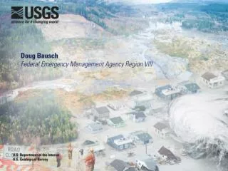
FEMA’s Disaster Applications of 3D Terrain Data Doug Bausch, FEMA Region VIII Denver, CO July 25th, 2014
Rapid Inundation Assessment • Obtain 3D terrain • Develop flood surface from model and/or field observations • Subtract terrain from flood surface
Sandy 2012: Expedited Assistance -44K households identified as damaged and inaccessible -Over $130M in expedited assistance based on accurate and rapid flood depth information
NYC: 3DEP vs Low Resolution Areas “flooded” at low resolution
Sandy, 2012: Analysis of NFIP Impacts • Flood depths assigned to 200,000+ policies • Integrated into request to increase borrowing authority – • $9.7 billion
Colorado 2013 Floods Impacts: • 10 lives lost • Over 8,000 evacuated • Over $3B in losses • 138 communities with damage
Colorado Flood 2013 – 3DEP Post Event Lidar • Significant stream morphology changes • Rare use of disaster funds ($2M) to purchase • Partnership and expedited delivery • Rapidly produced new floodplain mapping Boulder Denver
1/3rd of all households in Jamestown and Lyons were damaged 700 households in Lyons without water or sewer
Infrastructure Progress COLORADO FLOODING DR- 4145 - CO
-$60M to address imminent flood threat due to debris deposition and erosion Infrastructure Progress COLORADO FLOODING DR- 4145 - CO
Colorado 2013 Infrastructure Restoration -Design guidance for permanent restoration -$2.1B infrastructure restoration -includes $528M in mitigation and resiliency investments
3DEP Disaster Applications Summary • Expedites response and recovery • Supports partnerships in obtaining and expedited delivery • Provides high quality accurate floodplain maps • Supports sound decision-making and investments • Helps support resilient communities