Download
1 / 14
140 likes | 322 Views
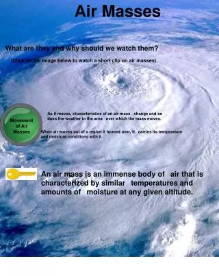
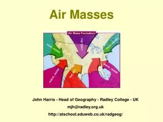
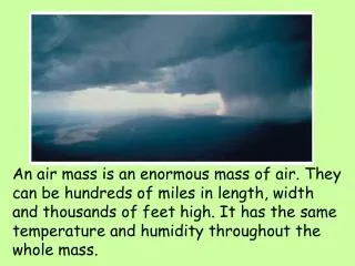
Air Masses. An air mass is an enormous mass of air. They can be hundreds of miles in length, width and thousands of feet high. It has the same temperature and humidity throughout the whole mass.

E N D
Air Masses An air mass is an enormous mass of air. They can be hundreds of miles in length, width and thousands of feet high. It has the same temperature and humidity throughout the whole mass.
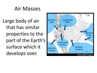
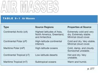
As air moves over water such as oceans and large lakes it picks up water vapor. The term for moist air is maritime.
As air moves over dry/arid areas such as deserts or land it looses water vapor and is dry. Ther term for dry air is continental.
Air passing over cold regions will loose heat energy and have lower temperatures.The term for cold air is polar.
Air passing over warm/hot regions will gain heat energy and have higher temperatures. This type of air is called tropical.
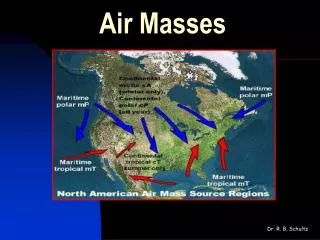
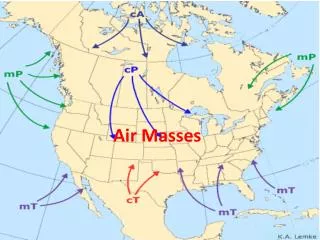
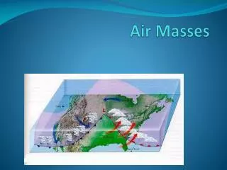
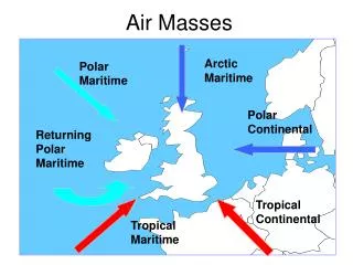
Because Earth is tilted on its’ axis there are permanent hot and cold areas on the planet. • These areas form air masses that move bringing changes in weather with them. • Look at the following map and notice where the earth creates tropical and polar air masses.
This map shows where the air masses that affect the weather in the USA are located.
The boundry between two air masses is called a front. • The front is where the weather begins to change. • As a front passes through a region it will bring the weather of the air mass behind it. Here you see a warm front. As it Moves through an area it will bring Slow changes and rain followed by Warmer temperatures.
Here you see a cold front. • It moves through an area quickly bringing rain and sometimes thunderstorms followed by colder temperatures.
Let’s practice what we’ve seen. • Take out a piece of paper and copy the following on to it: • Name _____________ • Temperature:_________ • Fronts: _________ • Cloud/sky conditions:_________ • Weather prediction:__________ We’ll look a 3 weather maps and you’ll make the predictions based on what you’ve learned and what you observe on these maps.
Look at these weather maps. Can you predict how the weather for the NY/White Plains area?
Some information is collected from satellites. This image is from a “Doppler Radar” satellite. It shows where the clouds are.