Download
1 / 14
140 likes | 382 Views
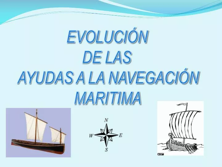
EVOLUCIÓN DE LAS AYUDAS A LA NAVEGACIÓN MARITIMA.

E N D
EVOLUCIÓN DE LAS AYUDAS A LA NAVEGACIÓN MARITIMA
Las ayudas a la navegación marítima incluyen aquellos sistemas visuales, acústicos o radioeléctricos destinados a posicionar las embarcaciones o los peligros cercanos a sus travesías, lo que permite establecer las rutas adecuadas y evitar en lo posible accidentes como encallamientos o naufragios.
Acantilados, islas, cabos o entradas a puertos Durante la noche en Puntos estratégicos de la costa HOGUERAS Evolución. Las Ayudas a la Navegación Marítima en la antigüedad. Banderas de colores, se codificaban mensajes para hacer llegar información a los barcos. Durante el día
Primeras cartas de navegación con mapas, en la Edad Media . Sólo son útiles con luz diurna por lo que de noche seguían siendo imprescindibles las señales luminosas. Las hogueras evolucionaron hasta convertirse en los actuales faros • Primero como meras construcciones que resguardaban de las inclemencias del tiempo • Luego sustituyendo el fuego de carbón o leña por lámparas de aceite, añadiendo ópticas y lentes que permitieron concentrar el haz de luz y aumentar el alcance de su visibilidad. • Por último, con la aparición de la electricidad bombillas y se automatizando todo el sistema.
FARO SOBRE UN ISLOTE FARO ILUMINANDO EN LA NOCHE CARTA DE NAVEGACION EN LA EDAD MEDIA CARTA DE NAVEGACION EN LA ACTUALIDAD
El Alfabeto Aeronaval es un conjunto de palabras extraídas de diversos idiomas, elegidas de modo que cada una suene bastante distinta de cualquier otra. Cada una de las cuales comienza con una letra distinta del alfabeto latino sin faltar ninguna letra y su finalidad es permitir el deletreo de palabras en forma clara en comunicaciones radiales con ruido de fondo y entre personas de distintaslenguas nativas. El alfabeto aeronaval fue concebido con el fin de ser usado internacionalmente en comunicaciones .
SISTEMAS EXISTENTES EN LA ACTUALIDAD RADAR DE NAVEGACION
IMÁGENES DE EQUIPOS DEL SISTEMA GPS Receptor GPS (Móvil) Receptor GPS GARMIN (Fijo)