Download
1 / 15
150 likes | 283 Views
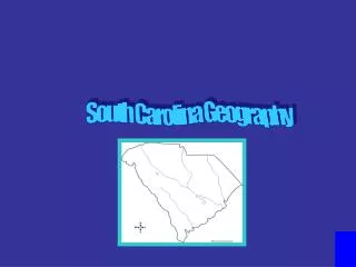
Geography of South Carolina. Foldable Please grab 4 pieces of paper. Get out you notebook . Get out the maps and notes from last class. Do you have your device? What are the areas of South Carolina like that you have visited?. Coastal Zone Coastal Plain Sandhills Piedmont Blue Ridge

E N D
Geography of South Carolina Foldable Please grab 4 pieces of paper. Get out you notebook. Get out the maps and notes from last class. Do you have your device? What are the areas of South Carolina like that you have visited?
Coastal Zone • Coastal Plain • Sandhills • Piedmont • Blue Ridge • River Systems & Climate Label your foldable in the order above.
PEE DEE SANTEE SAVANNAH EDISTO
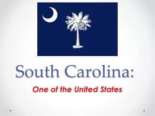
South Carolina South Carolina is a small state – 31,055 square miles 40th in size Split into 2 areas by the fall line
Up Country Fall Line Low Country
South Carolina is a small state – 31,055 square miles 40th in size Split into 2 areas by the fall line South Carolina
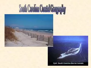
185 mile long/10 miles wide • 3 Sections • Grand Strand • Santee Delta • Barrier Islands • Islands protect coast from storms • Salt marshes, streams, sandy soil Coastal Zone
Outer-Coastal Plain Inner-Coastal Plain 130-250 feet above sea level Rich soil Carolina Bays: Oval holes in ground surrounded by trees lake, swamp, dry land Caused by wind or meteorites • 30-50 miles wide • Dark, inland swamps • Savannahs (areas that are flat w/out trees) • Areas near ocean very flat • Rice and indigo once thrived Coastal Plain
Between Coastal Plain region and fall line • Fall line: place on a river where rocks and rapids force boats to stop when traveling from sea • Low, rolling hills made from sand/clay that washes from mtns. in Piedmont region • 50-60 million year ago area was sand dunes • Soils not very good due to sand Sandhills
Meaning: “foot of the mountain” • Hilly region covers 1/3 of SC • Much of land used for timber • Grasses used for pasture and to hold soil Piedmont
Northwest SC • Part of Appalachian mountains • Sassafras highest (3554 ft.) • Covered with plants • Soil not good for farming • Cooler/wetter than rest of state Blue Ridge
River Systems Climate Subtropical Mild winters A lot of rain Possible Hurricanes Possible Earthquakes in Lowcountry • Pee Dee System • Santee System • Coastal Plain System • Savannah System • Drinking water • Transportation • Electrical power • Home for wildlife River Systems/Climate
Why is each region important? You will be assigned a partner! Compare what you wrote with your partner. Do you need to change anything?. Please give me 7-11 sentences describing South Carolina using the regions. Closing!