Download
1 / 23
230 likes | 429 Views
Lake Livingston Map. Strong North/Northwest Winds ~ 40 to 60 MPH sustained. Cape Royale. North. Livingston Dam. Inland Lake Surges Associated with Hurricanes Rita and Katrina. Dave Schwertz , CFM Senior Service Hydrologist Lance Wood Science and Operations Officer NWS Houston/Galveston.

E N D
Lake Livingston Map Strong North/Northwest Winds ~ 40 to 60 MPH sustained Cape Royale North Livingston Dam
Inland Lake Surges Associated with Hurricanes Rita and Katrina Dave Schwertz, CFM Senior Service Hydrologist Lance Wood Science and Operations Officer NWS Houston/Galveston
Large Coastal Lake Surges • The SLOSH model is run in advance for potential surges on Lake Okeechobee and Lake Ponchatrain. • Catastrophic surges on these lakes have occurred and have been well documented and modeled. • In 1928, a storm surge on Lake Okeechobee overtopped the levee and killed 2,500+ people in Belle Glade and other small surrounding towns. • The surge associated with hurricane Katrina (2005) did not overtop the levee system around Lake Pontchartrain, but caused several levee breaches.
Lake Okeechobee Map North Storm Track Belle Glade
Katrina Storm Surge Actual Model Run Gulfport, MS
New Orleans Flooding Levee Breach • Levees were breached not overtopped by storm surge • Much worse if the storm surge had overtopped them • Flooding that took 2 days would have occurred in 6 hours
Inland Lake/Reservoir Surges from 2005 San Jacinto River at Lake Conroe Hurricane Rita Trinity River at Lake Livingston Hurricane Rita (September 24th, 2005) Pearl River at Ross Barnett Reservoir Hurricane Katrina (August 29th,2005)
Lake Livingston Dam • Lake Livingston Dam is a 2.5 mile 55 foot high earthen embankment with 12 tainter gates for releasing water. • The earthen embankment is protected from water erosion by rip rap, large 30 inch diameter stones, on the lake side of the dam. • Built in 1966, owned and operated by the Trinity River Authority of Texas (TRA), solely for water supply purposes. • The lake covers approximately 83,000 surface acres (130 sq. miles), with a normal pool elevation of 131 feet above mean sea level and is located 7 miles southwest of Livingston.
Hurricane Rita Radar Images KHGX reflectivity @550 AM CDT Rita centered near Mauriceville, TX (75 miles ESE of the dam) KHGX reflectivity @301 AM CDT around time of landfall (95 miles SE of the dam)
Lake Livingston Peak of storm surge (8 AM) Releasing 80K CFS 117 MPH gust at Dam (530 AM) Civil Emergency Message issued to evacuate below Dam (147 PM) Hurricane Rita making landfall near Sabine Pass (3 AM) Peak drop in water level at north end of lake (Riverside 1200 PM)
Lake Livingston Map Riverside Strong North/Northwest Winds ~ 40 to 60 MPH sustained North Livingston Dam
Emergency Releases Following the state-approved emergency action plan, the Trinity River Authority began releasing water from Lake Livingston to lower the water level to 127 feet above sea level to avoid any further erosion of the rip rap or the soil on the dam from wave action during the hurricane event.
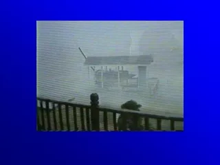
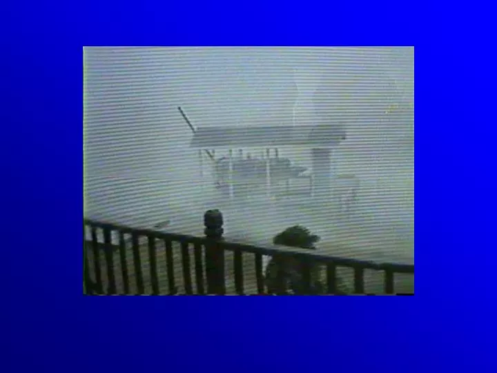
Damage at the Livingston Dam The high winds and significant wave action brought by Hurricane Rita eroded some of the rip rap on the lake side of the dam, exposing part of the earthen embankment. Some erosion to the earthen embankment also occurred. 9.6 million dollars worth of repairs were necessary.
Indian Hills Subdivision Damage These lots faced N/NW and bore the brunt of the surge
Lake Conroe North North Extending 21 miles in length and covering 21,000 surface acres, Lake Conroe is the reserve drinking water supply for the city of Houston Strong North/Northwest Winds ~ 30 to 40 MPH sustained Peak Gusts ~ 50 to 60 MPH
Lake Conroe Dam Damage Wave action scoured the face of Lake Conroe's dam, exposing the dam's clay core. Although the dam was never in danger of collapsing, the river authority was left little choice but to drop the water level nearly 5 feet so workers could repair the damage and beef up the structure. Repairs to the dam cost 1.7 million dollars. Erosion of the Lake Conroe Dam (Image from the Montgomery County News)
Hurricane Katrina Radar Images KDGX Composite Reflectivity Center Southwest of Meridian, MS 4:03 PM Ross Barnett Reservoir KDGX Composite Reflectivity Center Southwest Of Hattiesburg, MS 1202PM
Ross Barnett Map Strong Northeasterly Winds ~ 45 Gusting to 75 MPH Ratliff’s Ferry Ross Barnett Reservoir Dam 15 miles NE to SW Pearl River 5 NE Jackson North Primarily Recreation also used for Flood Control and Water Supply $2 million damage to dam Severe damage to causeway to north shore
Peak of Storm Surge (4pm) Katrina Landfall in South Louisiana ~ 6AM Reservoir officials give order to release up to 40K to take pressure off of the dam (~5pm) Peak Drop in Lake at Ratliff’s Ferry (Upper Ross Barnett Reservoir) between 4pm and 5pm. Ross Barnett Pool &Ratliff’s Ferry Pool
Thank you for your attention !Any Questions ?Dave.Schwertz@noaa.gov