Download
1 / 17
180 likes | 319 Views
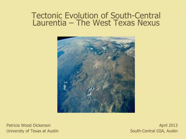
Tectonic Evolution of South-Central Laurentia – The West Texas Nexus. Big Bend Landsat Mosaic OR K Sullivan N view of W. TX. & Rift. Patricia Wood Dickerson University of Texas at Austin. April 2013 South-Central GSA, Austin. Mesoproterozoic – Eocambrian(?) (Mosher, 2010; Grimes, 2013).

E N D
Tectonic Evolution of South-Central Laurentia – The West Texas Nexus Big Bend Landsat Mosaic OR K Sullivan N view of W. TX. & Rift Patricia Wood Dickerson University of Texas at Austin April 2013 South-Central GSA, Austin
Mesoproterozoic – Eocambrian(?)(Mosher, 2010; Grimes, 2013) Tumbledown Mt., Van Horn area Franklin Mountains • 1) Intraplate rifting (1380-1327 Ma) – Granite-Rhyoliteterrane • Carrizo Mt. Group metaigneous and metasedimentary rocks • 2) Continental margin basin development (~1250 Ma) • Grenvillian collision, transpression (1057-1035 Ma) • Streeruwitz thrust (1000-980 Ma) • 4) Franklin Mts. – Metamorphic rocks (1250 Ma) intruded by granite (1120 Ma) • Granites in part coeval with Pecos Mafic Complex (1163-1073 Ma), 400 km east • 5) Van Horn Ss – Synrift fan delta complex (~555 Ma?) related to Rodinia breakup • and opening of Iapetus (Elston & Clough, 1993)
Rift-Related Intraplate Magmatism – Iapetus Opening: Basalt & Trachyandesite Clasts in Fort Peña Fm Conglomerate ~706 Ma U/Pb, zircon (Hanson, Roberts, Dickerson, & Fanning, 2012, 2013) Basalt, open blue circle Trachyandesite, blue X Trachyandesite, polarized light
Opening of Iapetus – Divergence of Laurentia and Gondwana (PLATES Program, UTIG, 2011) Rifting along Laurentian margins from ~750 to ~550 Ma Intraplate extension/rift geo- chemical signature for volcanic boulders in L-M Ordovician strata of Marathon Basin 720 to 660 Ma ages consistent with Neoproterozoic-Eocambrian magmatism at source(s) of clasts 750 - 700 Ma
Late CarboniferousAncestral Rockies & Ouachita-Marathon Belt(Blakey, 2003)
Late Paleozoic Deformation in West Texas Ouachita-Marathon thin-skinned fold and thrust belt Goetz in Goetz & Dickerson (1985) Diablo Platform Ancestral Rockies-style basement-cored uplift
Cretaceous-Paleogene Magmatism Red Hills intrusion(s) Presidio Co., TX Quartz monzonite Laramide, ~64 Ma (Gilmer, 2001) (Barnes et al., 1979) Basaltic phreatomag- matic volcanism, 77 Ma, Big Bend National Park − westward extension of LK Balcones intraplate igneous province (from Befus, 2008)
Cretaceous-Paleogene Deformation Laramide basement-cored uplifts (Sierra del Carmen) and evaporite-cored folds (Chihuahua Tectonic Belt) L-L fault, striae rake 40° SE Left transpressive component on major NNW-trending structures, as at Mariscal Mt.
Thrust Fault in Mariscal Canyon(Dickerson, Muehlberger and Collins, 2010) North riverbank – revealed by 2008 flood Ksp and Kse are thrust, overturned to E Thrust is cut by N-striking normal fault; thin-bedded, overturned Ksp against massive, near-horizontal Kse
Paleogene Magmatism – Newly Exhumed Ignimbrite (gray, foreground) • Densely welded rhyolite tuff • Dips 25° SSW • Discordant with respect to • deformed Cretaceous strata • N contact buried beneath sand • and gravel; E, S & W contacts • submerged • Probable remnant of more • extensive deposit, preserved • in depression in K rocks • Did it founder into a solution- • collapse cavity? (common on • Mariscal Mt.) • Was it let down due to undercutting • by the river and removal of • fractured, less resistant K rock?
Paleogene Magmatism – Intrusions (Collins, Dickerson & Muehlberger, 2008) Glenn Spring porphyritic microgranite sill ~30.5 Ma (Ar-40/Ar-39, feldspar; Miggins in Collins et al., 2008)
XenolithsNorthern & Eastern Glenn Spring Sill - 4 Survey Areas(Dickerson, Muehlberger & Collins, 2007) Compositions: Quartzite Schist Marble Rare metachert Fabrics: Sheared, isoclinally folded, dynamically recrystallized Sizes: Maximum ~1 m Minimum ~1 mm Majority 1 – 15 cm Morphology: Subangular to subrounded Distribution: From 3 or 4/sq m (3+ cm) to 9 or 10/sq m Present throughout sill, down to at least 13 m Increase in size and number toward sill center Mica schist rinds in voids – initially more numerous Marble more common away from sill margins
Exposed Analogues Sierra del Carmen(Coahuila, MX)GS & SdC on margin of Laurentia during Ouachita orogenesis277 ± 2 MaGreenschist-faciesmetamorphism (Carpenter, 1997)
Neogene-QuaternaryRio Grande Rift – Transform Complex Rift grabens (N) – Sunken Block Bimodal magmatism (olivine basalt dominant) Border Corridor Transform Zone basins & faults (NW) Transfer zones (W-WNW) – Tascotal Mesa TZ Rift-transform junctions – Terlingua, mafic intrusions with mantle, lower crustal xenoliths Quaternary faulting, present seismicity EARTHQUAKES: Valentine 1931 (M 6.4) Alpine 1995 (M 5.7) 2012 (M 3.6) Extension with right slip (Dickerson & Muehlberger, 1994; Dickerson, 2013)