Download
1 / 21
210 likes | 378 Views
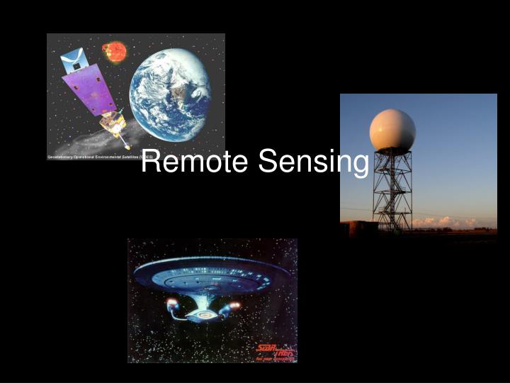
Remote Sensing. Satellites. Provide gross Temperature, Humidity soundings Provide images of clouds We haven’t missed a Hurricane since satellites went on-line For the most part passive digital “cameras”. Satellite Retrievals.

E N D
Satellites • Provide gross Temperature, Humidity soundings • Provide images of clouds • We haven’t missed a Hurricane since satellites went on-line • For the most part passive digital “cameras”
Satellite Retrievals • Both low orbiters and geosynchronous satellite instruments scan and report number of photons at energies
Satellite Retrievals • Footprint is larger at ends of scans than it is at nadir so corrections must be made • Corrections needed as spacecraft wobbles and nutates • In some cases “rubber sheeting” is needed to match cities with their image counterparts. • May be done on board or done on the ground and relayed back to the satellite for distribution
WSR-88D Radar • Very useful for finding out where precip is and how storms are moving • Now gives velocity of movement towards or away from radar site
Surface Based Radar Basics • Reasonably simple – transmitter sends out a pulse, the EM wave is reflected or scattered back to the antenna and the time it takes to get back gives the distance away
Profilers • Upward looking radar units • Measure three components of the wind at various elevations • Potential for measuring particle size distributions from fall speed distributions