Download

1 / 8
0 likes | 4 Views
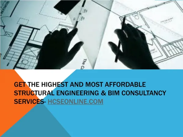
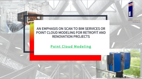
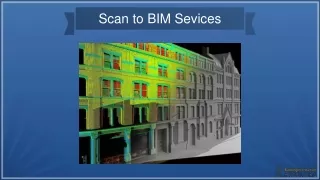
Scan Tech Surveys offers precise structural surveys, 3D scanning, and Scan to BIM modelling services in Perth & Melbourne. Supporting architectural, construction, structural, and rail projects with accurate data for design and planning.

E N D