Download
1 / 16
160 likes | 357 Views
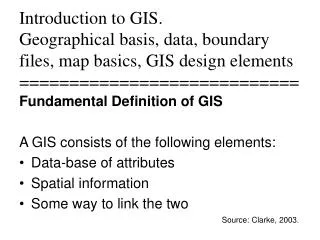
In Project: Used many spatial db- parcel, street, rr, etc. that were associated to attribute data. opened different types of data formats- dbf files (voters) Analysis through various GIS functions: geocoding- voters by address to parcel & interpolation

E N D
In Project: Used many spatial db- parcel, street, rr, etc. that were associated to attribute data. opened different types of data formats- dbf files (voters) Analysis through various GIS functions: geocoding- voters by address to parcel & interpolation heads-up digitizing- draw study area polygon editing- move or reshape the TIGER based streets, create path to nearest bus stop from chosen site relational join- attribute sql of parcel polygons to Auditor data linked by common field- ppn derived column calculation- area function in sql spatially combined objects based on column - associated parcels attribute sql- of land use that is vacant buffering- 200 ft from toxic sites. spatial query- spatial sql parcel object within toxic buffer use Vertical Mapper to determine slope of sites Output: thematic mapping- dot density of population, pie of vacant & occupied housing maps- final sites, etc photos- of final sites, aerial registration browsers- attribute table data of selected sites GIS Definition Diagram Output
Issues resulting from releasing GIS data to public: Example 1: Person contacts city dept. and demands map of all Rotweiler dog locations and owners within the city. City worker provides the map. City is later sued. Homeowners near dog locations blame city for releasing map, saying that it lowered home values due to the map. Example 2: Contractor is building new structure. Must dig up area under road and building. Contractor asks city dept. for map of infrastructure (gas,electric, & water lines). City worker provides the map. Contractor digs with back-hoe, ruptures gas line, big fire, lots of damage, 1 death and a huge lawsuit. What data should be made available to public? Determined by law; Public vs Confidential; Freedom of Information Act What format to release the data? Paper report or map or must you provide digitally?? Who is liable for incorrect maps or data? Disclaimers on any released data- “Use at your own risk” Who should be responsible to make decisions on what should be released? Lawyers, politicians, technical or scientific staff??
Releasing data has consequences: Technical- request may be to difficult to extract and program. Thus, too costly. Legal- what must be released? What data format? What is liability in releasing? Economic- impact on economy from the release of data. (ie. lower housing value due to the vicious dog location map) Political- city leaders, managers, etc. can lose jobs by releasing the data Bottom line: Producing, then disseminating data to the public can be dangerous. Be responsible & prepared- Review GIS issues; determine how data will be released; Have disclaimers and supply metadata; Have system in place to authorize the release of data; Get advice of city lawyers
GIS software usage in Government for US- 2000 ESRI has most government use MapInfo has higher usage in private business sector How do I determine what software to purchase for my company, agency, or department?
Evaluation of GIS Software Every few years, one of the GIS magazines evaluates the GIS software on the market. Lists the functions of each. Can help you to evaluate the software. Displays in “Consumer Reports” style to evaluate GIS Software.
Hardware Requirements for GIS Most of the PCs or laptops on the market can handle the majority of GIS tasks. Here are some guidelines: - IBM compatible PC or laptop - Processor – Pentium (dual core) - Operating System– Windows XP , Windows 2000, Windows 2003, Vista, Windows 2007, Windows 2010 - Memory– minimum= 128 MB RAM , recommended = 4 GB - Hard Drive– Fast EIDE 2 or SCSI Interface with 2 GB or better. Data- 2GB or more (more is better, like 50 or 100 GB) ( Note: size for software and data files in this class is less than 1GB)