Download

1 / 26
260 likes | 492 Views
Weather and Climate Services for Pinga Oya. Lareef Zubair, Zeenas Yahiya, Sewwandhdhi Chandrasekera, Prabodha Agalawatte, Dumindu Herath, Michael Bell Foundation for Environment, Climate and Technology, Digana and International Research Institute for Climate and Society, .

E N D
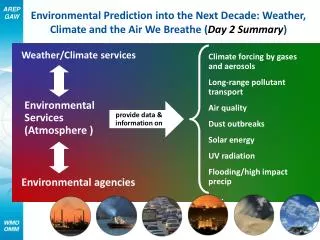
Weather and Climate Services for Pinga Oya Lareef Zubair, Zeenas Yahiya, Sewwandhdhi Chandrasekera, Prabodha Agalawatte, Dumindu Herath, Michael Bell Foundation for Environment, Climate and Technology, Digana and International Research Institute for Climate and Society,
Baseline Climatologies • 284 rainfall stations for 1960-2000 was used to create a gridded dataset.
Rainfall Mean Std. Dev. Rainfall Mean Std. Dev. Temperature Solar Radiation Temperature Solar Radiation Wind speed Northerly Easterly Windspeed Northerly Easterly Cyclone risk Flood risk Western slopes Eastern slopes Cyclone risk Flood risk Western slopes Eastern Slopes Landslide Risk Landslide Risk Malaria Dengue Malaria Rice Dengue Climatologies
Fine-scale Analysis • Top Row • Population • Vulnerability • Flood Incidence • Flood Hazard • Middle Row • Drought Incidence • Drought Hazard • Landslide Incidence • Landslide Hazard • Bottom Row • Cyclone Incidence • Cyclone Hazard • Multi-hazard Analysis .
Wind and Rainfall Climatology over Southern Asia Reversal in Wind Direction Over SL NE – Nov-Mar W – May to Sep Migration of rain bands Over SL Yala rains (MJJ) Maha rains (OND) 5
Orographic Rainfall Model • Orography and Lorentizian - > • Observations -> • Model ->
Monthly Rainfall Climatology around Kandy Top – Peradeniya (1944 – 1985) Middle – Katugastota (1944 – 1985) Bottom – Rajawella ( 1944-1983) Below – Temperature Climatology - Katugastota
Kandy Rainfall and Temperature 1866-1992 Top – Rainfall Bottom - Temperature
Satellite Rainfall Monitoring for Akurana DSD Top – Left: Dekadal Rainfall Top- Right: Comparsion with Average – Blue Excess, Brown Deficit Bottom- Left: - Rainfall Comparison last 6 years Bottom Right – Cumulative Deficit over last 365 days Downloaded: Feb 19, 2013
Land Surface Modeling, slide courtesy NASA GSFC r E r a a ABL H r Canopy c e a r r d plant r surf e (T ) Soil r * s soil MPr Land Surface Prediction: Accurate land model prediction based on water and energy balance. Input - Output = Storage Change P + Gin –(Q +ET+ Gout) = ΔS Rn - G =Le+ H • Catchment Model (Koster et al., 2000): • Models in catchment space rather than on grids. • Uses Topmodel concepts to model groundwater
DroughtTendency in the Last 50 years in North, East, South and West Annual Rainfall and Regionalization
Mahaweli River Basin Projects January 2000 onwards http://iri.columbia.edu/~mahaweli lareef@iri.columbia.edu http://www.climate.lk