1 / 17

Interactive and Extendable Campus Map with GIS Integration

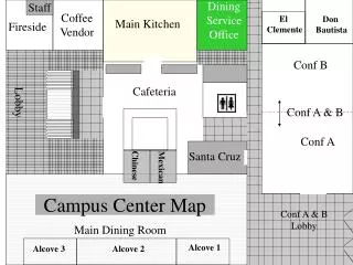
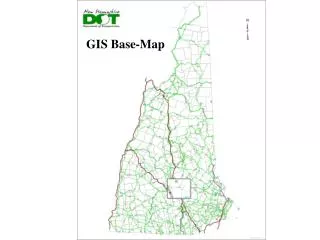
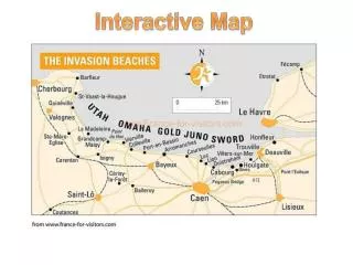
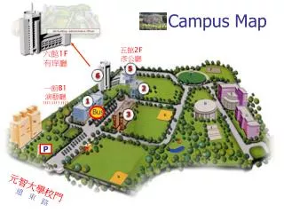
Discover an innovative interactive campus map that combines Geographic Information System (GIS) capabilities for enhanced navigation and exploration. Our map features user-friendly interface, allowing students, staff, and visitors to easily find buildings, facilities, and resources across campus. With extended functionality, users can customize layers, view real-time updates, and access detailed information about various locations. Whether you're navigating to class or discovering new areas, this map guides your journey through the campus effortlessly.

dallon
Download Presentation

Interactive and Extendable Campus Map with GIS Integration

An Image/Link below is provided (as is) to download presentation Download Policy: Content on the Website is provided to you AS IS for your information and personal use and may not be sold / licensed / shared on other websites without getting consent from its author. Content is provided to you AS IS for your information and personal use only. Download presentation by click this link. While downloading, if for some reason you are not able to download a presentation, the publisher may have deleted the file from their server. During download, if you can't get a presentation, the file might be deleted by the publisher.

E N D

Presentation Transcript


    More Related