Download

1 / 8
80 likes | 102 Views
Shona Mackie, a PhD student at the University of Edinburgh, is researching cloud effects on weather, climate, and energy budget using NASA imagery. Supervised by Chris Merchant from the Met Office, the project aims to improve cloud classification methods to enhance weather forecasting accuracy.

E N D
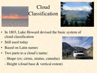
Cloud Screening and Classification in Satellite Imagery Shona Mackie PhD student, University of Edinburgh CASE studentship: Met Office, U.K. Supervisor: Chris Merchant
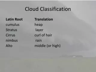
Clouds are important! • Weather and climate • Energy budget • Temperature • Precipitation • Height • Optical thickness • Diurnal variation www.larc.nasa.gov/SCOOL/cloudeffects.jpg
Weather Forecasting • Numerical Forecast • Cloud treatment not perfect • Spatial and temporal • Sub-grid parameterisation • Satellite Imagery • Visual inspection • amendments • Automated assimilation
Overall Aim • Bayesian Cloud Classification (Chris Old) • Physically based • Flexible • Expand • To land • To cloud types
Current state of project • Problems • Ocean fronts • Coastline • Land • Clustering
General Method • Small area of one image scene • Cloud detection on clusters • Classification?
PLAN Clustering to aid detection Expand technique to land Expand to cloud types (low, medium, high) Expand to refined cloud types Implement method at the MET Office