Download
1 / 30
300 likes | 496 Views
"A popular Government without popular information or the means of acquiring it, is but a Prologue to a Farce or a Tragedy or perhaps both. Knowledge will forever govern ignorance, and a people who mean to be their own Governors, must arm

E N D
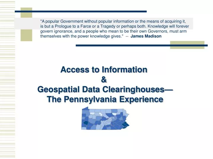
"A popular Government without popular information or the means of acquiring it, is but a Prologue to a Farce or a Tragedy or perhaps both. Knowledge will forever govern ignorance, and a people who mean to be their own Governors, must arm themselves with the power knowledge gives." -- James Madison Access to Information & Geospatial Data Clearinghouses— The Pennsylvania Experience
In this presentation… Background on the evolution of the clearinghouse movement & the PA clearinghouse Past and current challenges and initiatives for Pennsylvania Other projects supported by free access to data FTP & Metadata Map Services & Customization Tools Relational Database Development
Background on the clearinghouse movement… A number of astronauts, and then all of us who saw the photography from space, marveled at how much the Florida peninsula, meandering Mississippi, the islands of Britain, and the boot of Italy resembled the maps everyone had grown up with. We had taken it for granted that maps were faithful reflections of reality; but we were somehow amazed when reality turned out to be true to the maps.—John Noble Wilford, The Mapmakers In the US, there is the expectation of free access to information—”The Right to Know”. Historically, US government and most state government information is provided to the public. Digital information, such as GIS data, is no exception. However, sharing digital data is a complex process! Distributed computer networks, intricate programming languages, communication protocols, relational database architectures, user interfaces, and metadata standards must be established and implemented.
The National Spatial Data Infrastructure—NSDI • The NSDI was established by executive order under President Clinton as a means to eliminate redundancy in data creation and streamline government operations and cooperation. • The NSDI was a gateway to distributed networks hosting spatial (GIS) data. • The NSDI enabled search and retrieval of information (using Z39.50 protocol) much like a library catalog shows what books and articles are available. • The Federal Geographic Data Committee (FGDC) was given the task of developing standards for data sharing for use in the NSDI. These included metadata standards and implementation of the NSDI by creating partnerships with spatial data providers such as state governments. • To participate in the NSDI, partners had to establish a spatial data clearinghouse that contained metadata based on FGDC standards and utilized the Z39.50 protocol to allow users to search from the national gateway. How do these things relate to the “Pennsylvania Experience”?
Pennsylvania Spatial Data Access (PASDA): The Geospatial Data Clearinghouse for the Commonwealth of Pennsylvania
PASDA is the Commonwealth’s node on the NSDI, participates in GOS, the Geography Network, and the NBII Serves as a resource for locating data throughout PA Provides widespread sharing of Geospatial data Eliminates the creation of redundant data sets What is PASDA?
PASDA Background • PASDA was initiated in 1996 as a partnership between Penn State University and the PA Department of Environmental Protection. • PASDA was established in the Penn State University Library and was a collaborative project of the library, the Geography Department, and the PSU Institutes of Energy and the Environment. • The program was originally coordinated by the PSU Maps Librarian who managed the data partnerships, metadata development, and data organization. • PASDA is currently funded by the Governor’s Office of Administration, Geospatial Technologies Office, and is under PSU Institutes of Energy and the Environment. • PASDA, which began by serving 35 datasets, currently provides access to 50,000 data files, numerous web GIS applications, and data customization tools. It is the largest state spatial data clearinghouse in the United States.
Planar Distance Units:meters Geodetic Model: Horizontal Datum Name:North American Datum of 1927 Ellipsoid Name:Clarke Data Storage and Access Planar Distance Units:meters Geodetic Model: Horizontal Datum Name:North American Datum of 1927 Ellipsoid Name:Clarke Metadata Outreach Planar Distance Units:meters Geodetic Model: Horizontal Datum Name:North American Datum of 1927 Ellipsoid Name:Clarke Planar Distance Units:meters Geodetic Model: Horizontal Datum Name:North American Datum of 1927 Ellipsoid Name:Clarke Planar Distance Units:meters Geodetic Model: Horizontal Datum Name:North American Datum of 1927 Ellipsoid Name:Clarke Training & Assistance Data & Metadata • PASDA info. • GIS tutorials Users PASDA PASDA Services • Our services include:
PASDA Provides: -Storage -Management -Access tools -Assistance • How PASDA Works: • PASDA is about Partnerships • PASDA works with data providers to acquire data and develop data distribution plan and metadata. • Data acquisition and maintaining partnerships is one of the most difficult and dynamic components of a clearinghouse. • PASDA works with Partners on: • Data Acquisition • Distribution Issues • Documentation Data Distribution Via the Web—Available for Anyone to Use Typical advanced GIS user
Some Quick Questions… • Why is it so difficult to obtain data? • Legal issues • Territorial issues • Questions about accuracy • Other reasons? • Who do you think PASDA partners might be? • State agencies such as PennDOT • Local governments such as the City of Philadelphia • Non-profit organizations such as the Western PA Conservancy • Academic institutions like PSU • I mentioned metadata, what is it and why do you think it might be important?
Metadata… What is Metadata? Here is the official answer… • Description: • Abstract:The U.S. Environmental Protection Agency's (EPA) Reach Files are a series of hydrographic databases of the surface waters of the continental United States … Originator:U.S. Environmental Protection Agency/Office of Water/OST Basins WHO Time Period of Content: Time Period Information: Single Date/Time: Calendar Date:1994 Currentness Reference:publication date Status: Progress:Complete Maintenance and Update Frequency:None planned Spatial Domain: Bounding Coordinates: West Bounding Coordinate:-74.739 East Bounding Coordinate:-73.652 North Bounding Coordinate:45.156 South Bounding Coordinate:44.496 Keywords: Theme: Theme Keyword Thesaurus:None Theme Keyword:RF3 alpha Hydrography River Reach streams stream network rivers hydrography ArcInfo navigation drainage Place: Place Keyword Thesaurus:Geographic Names Information System Place Keyword:New York NY New York English-Salmon Access Constraints:none Use Constraints:none Point of Contact: Contact Information: Contact Organization Primary: Contact Organization:U.S. Environmental Protection Agency Contact Person:Dan Parker Contact Address: Address Type:mailing and physical address Address:401 M Street SW (4503F) City:Washington State or Province:DC Postal Code:20460 Country:United States Contact Voice Telephone:1-800-424-9067 Data Set Credit:McKay, Lucinda; Sue Hanson; Robert Horn; Richard Dulaney; Alan Cahoon; Mark Olsen; and Thomas Dewald, 1994. The U.S. EPA Reach File Version 3.0 Alpha Release (RF3-Alpha) Technical Reference. U.S. Environmental Protection Agency, Washington, DC WHY Title:USEPA/OW River Reach File 3 (RF3) Alpha for CONUS, Hawaii, Puerto Rico, and the U.S. Virgin Islands Info about the data Indirect Spatial Reference:English-Salmon - New York Direct Spatial Reference Method:Vector WHAT WHEN Calendar Date:1994 Planar Distance Units:meters Geodetic Model: Horizontal Datum Name:North American Datum of 1927 Ellipsoid Name:Clarke 1866 Spatial Domain: Bounding Coordinates: West Bounding Coordinate:-74.739 East Bounding Coordinate:-73.652 WHERE HOW
More Questions… • What types of data do you think would be available through a spatial data clearinghouse? • Digital elevation models • Digital Aerial Photos • Digital Topo Maps • Vector Data— • Streams, roads, boundaries • Tabular data such as Census data • Temporal data such as weather data • Others?
Who uses PASDA? • Government Agencies • Emergency Response Teams • Non-profits and Conservancies • Consulting and Engineering Firms • Academic Institutions • Citizens • K-12 Schools
PASDA Clearinghouse Applications and Utilities • The PASDA Data Cart • The PASDA Data Wizard • Map Services • Web GIS applications and viewers Clip & Reproject Google Earth WMS MapServices WebGIS Applications FTP .ZIP Files ArcIMS MapServices NSDI – GOS Harvesting
Current Architecture… xml FTP .zip xml xml MapServices SDE WebGIS Central table drives the Website and integrates all services Website Direct Download Clip, Reproject & Download Central Table Metadata NSDI -- Geospatial One-Stop ArcIMS -- WMS --Google Earth
Data Access Tools & Utilities View & Interact with data on a map Clip, reproject & download Census 2000