Download
1 / 11
110 likes | 138 Views
Enhance terrestrial ecosystem models with high-quality surface weather data & uncertainty estimates. Apply Daymet algorithm globally.

E N D
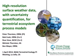
Peter Thornton, ORNL (PI) Bob Cook, ORNL (Co-I) Russ Vose, NCDC (Co-I) Michele Thornton, IIA Ben Mayer, ORNL 1 April 2013, NASA Terrestrial Ecology PI Meeting, La Jolla, CA High-resolution surface weather data, with uncertainty quantification, for terrestrial ecosystem process models
Motivation • Many terrestrial ecosystem process models have in common a requirement for high-quality surface weather data • Models moving toward higher spatial resolution • Current data sources at the global scale are coarse resolution, have known biases, and do not include uncertainty estimates
Background • Daymet method can meet many of the needs of current models • Mainly applied over conterminous U.S., and more recently Mexico and southern Canada • 15-year history of serving a broad community through on-line data distribution
New project objectives • Apply operational Daymet algorithm to existing global dataset (GHCND) • Extend input observational dataset through collaboration with partners in Africa, Asia, and other regions • Improve algorithms for application in data-sparse regions • Add longwave radiation and generate sub-daily outputs
Sub-daily outputs: precipitation Using NEXRAD (in U.S.) to improve estimates of precipitation occurrence and sub-daily co-distributions of occurrence and intensity.
Countries/time spans with suitable station density for Task 1