Download
1 / 21
210 likes | 233 Views
Learn how to generate and calculate Theissen weights for rainfall gages using freeware tools like G3DATA and Excel. This method provides a semi-automated approach for assigning weights to gages in a watershed area.

E N D
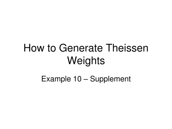
How to Generate Theissen Weights Example 10 – Supplement
Theissen Weights • Theissen polygons represent nearest neighbor areas • If one knows gage locations in an XY coordinate system and one has a grid of points that uniformily sample a watershed area, then the fraction of points nearest a particular gage divided by the total points representing the wateeshed is a good approximation of the Theissen weight.
Using Freeware • Concept is to use freeware to generate the grid of points on the watershed, then use Excel to compute the fraction of points assigned to each gage. • Obviously if you have real tools to do this job (ArcGIG, AutoCAD, etc.) then the process here is a waste of time. • If you are software poor, then this method will keep you in the race!
G3DATA • Software you will need • G3DATA a freeware utility to find XY coordinates on a PDF image. • SURFER, AutoCAD, or any digitizing software would also work just fine. • Excel to compute the distances from points in G3DATA and calculate the approximate weights.
Example 10S: Find Theissen Weights for Watershed • Example • Suppose the circles represent rain gages • What weights to assign to each gage?
Theissen Polygons • What weights to assign to each gage? • Theissen polygons would produce areas close to those shown. • How about a semi -automated method?
Generate Points on the Watershed • Step 1 • Use G3DATA to generate XY coordinates for the watershed boundary. • Record separately the gage locations
Start G3DATA • Step 1:G3DATA • Set XY limits • Get gage locations, read from “processing information” and enter into an Excel spreadsheet.
Record Gage Locations • Step 1:G3DATA • Set XY limits • Get gage locations, read from “processing information” and enter into an Excel spreadsheet.
Generate Boundary • Step 2:G3DATA • Get the boundary XY coordinates • Run around boundary in clockwise direction • Start at outlet (for consistency)
Populate Interior Points • Step 2:G3DATA • Now mark a few interior points, try to distribute across the interior, use about 100 points or so.
Save the Points, Check File • Step 3: Prepare for Distance Calculations • Here is the G3DATA file. • All points are XY coordinates within the watershed.
Points into Excel • Step 4: Paste into Excel • Set up a distance table • Find distances from watershed points to each gage • Min distance chooses gage
Results • So the approximate Theissen weights for this example are: • Gage 1 = 35% • Gage 2 = 13% • Gage 3 = 52 % • So as a validity check will use the polygons.
Conventional Polygons • Polygon approach • In practice the polygons can get hard to draw, especially as gages are added and deleted. • Keeping the points in a file is pretty trivial. • Point here is to validate the method
Drawing Rules • Step 1: Draw the polygons • Join each gage by a line segment • Mark the segment bisector • Pass segments through the bisectors to isolate parts of the area that are closest to a gage.
Three Gage Assignments • Gage 1 = Red • Gage 2 = Blue • Gage 3 = Green
Find Polygon Areas • Import into Acrobat and measure the areas of each polygon. • Unit conversion unnecessary – after ratios.
Compute Gage Area Ratios • Results in Acrobat Pro “inch” units • Gage 1 = 0.98 sq. in. • Gage 2 = 0.35 sq. in. • Gage 3 = 1.40 sq. in. • Now compute gage weights: • Gage 1 = 0.98/(0.98+1.40+0.35)= 0.358 • Gage 2 = 0.35/(0.98+1.40+0.35)= 0.128 • Gage 3 = 1.40/(0.98+1.40+0.35)= 0.513
Report Results • Convert to percentages (and rounding) • Now compute gage weights: • Gage 1 = 36% • Gage 2 = 13% • Gage 3 = 51% • These results are essentially the same!
Summary • Advantage comes when gage network changes. • If using Theissen polygons, have to redraw and re-measure areas • Not particularly hard, but complex Theissen polygon systems can result – drawing them is challenging. • If using the shortest distance method, simply enter the new gage locations.