Download
1 / 24
240 likes | 250 Views
NZSSES 2 nd Conference: Talking and Walking Sustainability 20 February 2007. Overview. Background – The Present development context What is TUSC? Progress to date Site tool demo TUSC phase 2 outline workplan TUSC neighbourhood demo

E N D
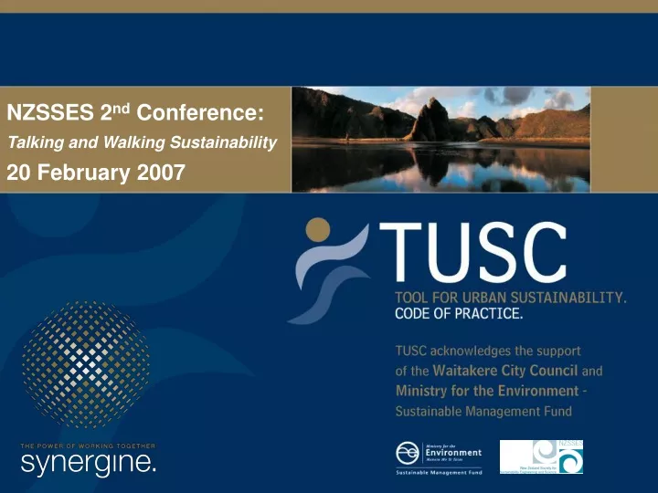
NZSSES 2nd Conference: Talking and Walking Sustainability 20 February 2007
Overview • Background – The Present development context • What is TUSC? • Progress to date • Site tool demo • TUSC phase 2 outline workplan • TUSC neighbourhood demo • Market position with reference to other rating tools • Linkages – discussion and opportunities
BACKGROUND “If you can’t measure, you can’t treasure” Dick Hubbard, Mayor of Auckland
Background: Present Context Land development process: • National agencies set some minimum standards • Regional agencies outline environmental policies • Local authorities left to implement (1) and (2) and set standards for land development: • Long-term community plans • District Plan • Guidelines, structure plans • Engineering Codes of Practice To progress towards sustainability i.e. carbon/water neutrality • decision makers, developers, and design practitioners need better decision support tools
Other Shortcomings • Knowledge – awareness of sustainability issues has been low • Fear of impractical sustainable management outcomes • Inertia - traditional approaches to urban form • Silos - understanding the links between land use planning, infrastructure and the built environment • Communication - the lack of agreed definitions, indicators, techniques and design parameters for urban sustainability • Data to implement, prove and monitor technologies • Shortage of tools to: • assess cumulative effects • evaluate cost/benefit in terms of social, cultural, economic and environmental outcomes;
Scope Provide a decision-making framework by: • Setting performance standards • neighbourhood scale land use, amenity and infrastructure planning (Scenario modelling) • Site specific planning, such as land use and subdivision consents. • Building planning at building consent stage to encourage consideration of building life cycle, energy, waste and reticulation infrastructure.
TUSC will produce: • a web-based analysis tool to assess and plan new and retrofitted urban developments against sustainability indices. • a flexible and evolving Code of Practice, using: • latest analysis techniques, • accurate and contextual environmental data • new treatment technologies and design practices • up-to-the-minute monitoring databases • expanding set of real-life case studies.
What will TUSC do? • Rating tool for concept designs pre-consent stage and has an audit function for use for retrofitting or benchmarking existing developments • Web interface integrates seamlessly with other data sources such as GIS systems, models, spreadsheets and databases to avoid ‘black box’ and allow integration across territorial boundaries for regional and national (or even international?) applicability • Comprehensive help function, online library database and links
Summary Free general access web tool prompting sustainable design choices at concept planning stage to demonstrate % improvement savings in • energy/CO2, • water use, • stormwater runoff • At neighbourhood scale for transport, environment, and urban form • Cost information to incentivise performance above minimum standards • Capital cost vs developer contribution offset vs operating savings
Compliance officers Developers Architecture Home owners Urban Planners and Designers Students world wide web Digital earth open source protocols .Net interface GIS Server analytical framework Rating tools Environmental databases Monitoring and user databases System Models Behaviour Research Environment Research Technology and Infrastructure Research
Progress to date • Site module available • From 1 July 2006, was incorporated by Waitakere City in their LTCCP plan as a means for reducing financial contribution payable by developers – up to $2000 per household unit • Online GIS integrated added (using Digital Earth protocols) for Waitakere users • Neighbourhood module commenced
DEMO: site tool VIEW SITE SCALE WEBSITE VIEW NEIGHBOURHOOD WEBSITE TOOL
DEMO: neighbourhood VIEW NEIGHBOURHOOD WEBSITE TOOL
Work Programme 2006-2007 1. Funding Aug – Jun07 2. Governance: Project Control and Reference Groups Oct – Nov 06 • Case Study Scoping and Tool Refinements Oct – Dec 06 • Neighbourhood Scale TUSC Tool Nov – Feb 07 5. Undertake Case Studies Dec – Mar 07 6. Tool Refinement and Calibration Mar – Apr 07 7. Promotion and Dissemination May – Jun 07 8. Evaluation May – Jun 07