GPS Status and Modernization
GPS Status and Modernization. GEOSpatial Information Systems for Transportation Symposium Charleston, WV 12-14 April 2010. Maj Wesley Chidester Deputy Chief, Systems Engineering & Integration GPS Wing, Air Force Space Command.

GPS Status and Modernization
E N D
Presentation Transcript
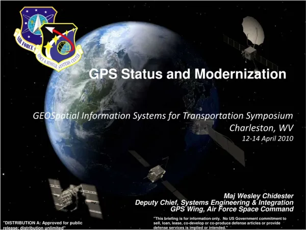
GPS Status and Modernization GEOSpatial Information Systems for Transportation Symposium Charleston, WV 12-14 April 2010 Maj Wesley Chidester Deputy Chief, Systems Engineering & Integration GPS Wing, Air Force Space Command "This briefing is for information only. No US Government commitment to sell, loan, lease, co-develop or co-produce defense articles or provide defense services is implied or intended." "DISTRIBUTION A: Approved for public release; distribution unlimited"
Overview • GPS Overview • Recent Events • Modernization Improvements
Critical Asset • Vital to International Security, Economic Growth, and Public Safety • Creates an irreplaceable advantage for warfighters and civil communities • Extends across all domains -- air, land, sea, space, cyberspace • Effects transcend national and military boundaries • Simultaneously creates strategic and tactical, global and local effects Available, reliable, accurate, and free of charge
GPS – Serving the World • Very robust constellation • 30 space vehicles currently in operation • 11 GPS IIA • 12 GPS IIR • 7 GPS IIR-M • 4 additional satellites in residual status • 1 additional IIR-M waiting to be set healthy • Global GPS civil service performancecommitment met continuouslysince December 1993 • Next Launch – IIF-1, May 2010
Schriever AFB England Alaska Vandenberg AFB South Korea USNO Wash, DC Bahrain Cape Canaveral Hawaii Kwajalein Ecuador Diego Garcia Ascension Tahiti Australia Argentina South Africa New Zealand • Operated by Space Professionals in 2d Space Operations Squadron at Schriever AFB, CO • Backup facility at Vandenberg AFB, CA • Global network of 16 ground monitoring sites and 12 ground antennas GPS Ground Segment
SPS Signal in Space Performance N/A N/A N/A N/A N/A 2001 SPS Performance Standard (Root Mean Square (RMS) over all SPS SIS URE) 2008 SPS Performance Standard (RMS over all SPS SIS URE) RMS Signal-in-Space User Range Error (URE), meters Selective Availability System accuracy exceeds published standard
1995 2005 2010 2014 - 2025 GPS IIA GPS II R / IIR-M GPS IIF GPS III GPS Modernization Programs Space Segment • Standard Service • Single frequency (L1) • Coarse acquisition code navigation • Precise Service • Y-Code (L1Y & L2Y) • IIA/IIR capabilities plus • 2nd civil signal (L2C) • M-Code (L1M & L2M) • IIR-M capability plus • 3rd civil signal (L5) • 12 year design life • Backward compatible • 4th civil signal (L1C) • Increased availability • Increased integrity Legacy Control System Architecture Evolution Plan (AEP) Next Generation Control Segment (OCX) Ground Control Segment
GPS Modernization – Ground • Architecture Evolution Plan (AEP) • Transitioned in 2007 • Modern distributed system replaced 1970’s mainframes • Increased capacity for monitoring of GPS signals to 100% worldwide coverage (was 96.4%) and have 99.8% of world double covered • Increased worldwide commanding capability from 92.7% to 94.5% while providing nearly double the backup capability • Next Generation Operational Control Segment (OCX) • Enables modernized messaging • Controls more capable GPS constellation • Monitors all GPS signals • $1.53B contract awarded 25 February 2010
GPS Modernization – New Civil Signals • Second civil signal “L2C” • Designed to meet commercial needs • Higher accuracy through ionospheric correction • 1st launch: Sep 2005 (GPS IIR-M); 24 satellites: ~2016 • Third civil signal “L5” • Designed to meet demanding requirements for transportation safety-of-life • 1st launch: ~ 2010 (GPS IIF); 24 satellites: ~2018 • Fourth civil signal “L1C” • Designed with international partners for GNSS interoperability • Begins with GPS Block III • 1st launch: ~2014; 24 satellites: ~2021
GPS Expandable Current Operations • Optimize GPS assets to improve operational effectiveness for global users & terrain challenged environments • Increase the number of vehicles over head for better availability/coverage • Constellation expansion feasible with robust number of satellites now on-orbit • Consistent with the current Standard Positioning Service (SPS) Performance Standard • Adjust position of satellites in 3 of 6 orbital planes to create expanded constellation • Expanded constellation provides better GLOBAL coverage Expanded Operations
Keys to the Global Success of GPS • Program Stability and Performance • Civil service performance commitment met continuously since 1993 • Continuous improvements in accuracy, availability, etc. • Continuity of constellation and signals ensured throughAir Force operation and acquisition • Funding through U.S. taxpayers • Policy Stability and Transparency • Open access to civil GPS signals, free of direct user fees • Open, free, and stable technical documentation • Market-based competition worldwide • National-level policy coordination including civil and military leaders • Commercial Entrepreneurship and Investment • Continuous Modernization thru Technology Investment
Summary • Largest constellation in history with best accuracy ever • Modernized Command and Control System allows more signal monitoring and quicker satellite commanding than ever before • Constant improvements through constellation management • And we’re continuing to modernize and improve GPS even more! GPS -- Serving the World
GPS Status and Modernization GEOSpatial Information Systems for Transportation Symposium Charleston, WV 12-14 April 2010 Maj Wesley Chidester Deputy Chief, Systems Engineering & Integration GPS Wing, Air Force Space Command "This briefing is for information only. No US Government commitment to sell, loan, lease, co-develop or co-produce defense articles or provide defense services is implied or intended." "DISTRIBUTION A: Approved for public release; distribution unlimited"