Download
1 / 51
520 likes | 652 Views
BioGeomancer: Collaboration to Automation. John Wieczorek (for BGWG) Museum of Vertebrate Zoology University of California, Berkeley. Georeferencing. Collaborations. Automation. Georeferencing. Collaborations. Automation. What is a georeference?. What is a georeference?.

E N D
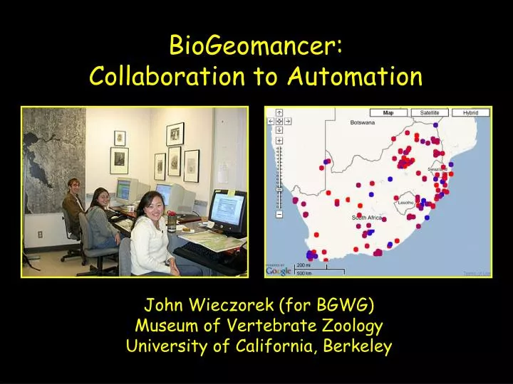
BioGeomancer: Collaboration to Automation John Wieczorek (for BGWG) Museum of Vertebrate Zoology University of California, Berkeley
Georeferencing Collaborations Automation
Georeferencing Collaborations Automation
What is a georeference? A numerical description of a place that can be mapped.
What is a georeference? A numerical description of a place that can be mapped. In other words…
What we have:Specimens with Textual Localities ID Species Locality 1 Lynx rufus Dawson Rd. N Whitehorse 2 Pudu puda cerca de Valdivia 3 Canis lupus 20 mi NW Duluth 4 Felis concolor Pichi Trafúl 5 Lama alpaca near Cuzco 6 Panthera leo San Diego Zoo 7 Sorex lyelli Lyell Canyon, Yosemite 8 Orcinus orca 1 mi W San Juan Island 9 Ursus arctos Bear Flat, Haines Junction
What is a georeference? A numerical description of a place that can be mapped.
“Davis, Yolo County, California” Coordinates: 38.5463 -121.7425 Horizontal Geodetic Datum: NAD27 “point method”
What is an acceptable georeference? A numerical description of a place that can be mappedand that describes the spatial extent of a locality and its associated uncertainties.
“Davis, Yolo County, California” Coordinates: 38.5486 -121.7542 38.545 -121.7394 Horizontal Geodetic Datum: NAD27 “bounding-box method”
“Davis, Yolo County, California” Coordinates: 38.5468 -121.7469 Horizontal Geodetic Datum: NAD27 Maximum Uncertainty: 8325 m “point-radius method”
What is an ideal georeference? A numerical description of a place that can be mappedand that describes the spatial extent of a locality and its associated uncertaintiesas well as possible.
“Davis, Yolo County, California” “shape method”
Method Comparison point easy to produce no data quality bounding-box simple spatial queries difficult quality assessment point-radius easy quality assessment difficult spatial queries shape complete representation complex
Georeferencing Collaborations Automation
Collaborative Distributed Databases for Vertebrates
MaNIS Localities Georeferenced n = 326k localities (1.4M specimens) r = 14 localities/hr (point-radius method) t = 3 yrs (~40 georeferencers)
Scope of the Problem for Natural History Collections
Scope of the Problem for Natural History Collections ~2.5 Giga-records
Scope of the Problem for Natural History Collections ~2.5 Giga-records ~6 records per locality* ~14 localities per hour* * based on the MaNIS Project
Scope of the Problem for Natural History Collections ~2.5 Giga-records ~6 records per locality* ~14 localities per hour* ~15,500 years * based on the MaNIS Project
Georeferencing Collaborations Automation
Automation Combining the Best in Georeferencing GeoLocate DIVA-GIS BioGeomancer Classic MaNIS Georeferencing Calculator
Major Activities (expected Sep 2006): • Develop spatial data standards for biodiversity
Major Activities (expected Sep 2006): • Develop spatial data standards for biodiversity • Assemble relevant spatial data
Major Activities (expected Sep 2006): • Develop spatial data standards for biodiversity • Assemble relevant spatial data • 3) Further develop existing desktop applications
Major Activities (expected Sep 2006): • Develop spatial data standards for biodiversity • Assemble relevant spatial data • 3) Further develop existing desktop applications • 4) Create workbench for automated georeferencing, editing, and validating
BioGeomancer Workbench Automated Georeferencing Visual Georeference Editing Georeference Validation Outlier Detection
BioGeomancer Workbench Automated Georeferencing Visual Georeference Editing Georeference Validation Outlier Detection
BioGeomancer Workbench: Automated Georeferencing Text Interpretation Feature Lookup Shape Generation
BioGeomancer Workbench: Automated Georeferencing Text Interpretation Feature Lookup Shape Generation
Automated Georeferencing:Text Interpretation “Between Albuquerque and Moriarity” Locality Type: BF (Between Features) Feature1: Albuquerque Feature2: Moriarity
BioGeomancer Workbench: Automated Georeferencing Text Interpretation Feature Lookup Shape Generation
BioGeomancer Workbench: Automated Georeferencing Text Interpretation Feature Lookup Shape Generation
Automated Georeferencing:Shape Generation Bounding-box Point-radius Shape
BioGeomancer Workbench Automated Georeferencing Visual Georeference Editing Georeference Validation Outlier Detection
BioGeomancer Workbench Automated Georeferencing Visual Georeference Editing Georeference Validation Outlier Detection
BioGeomancer Workbench: Georeference Validation Elevation Geography Species Distribution
BioGeomancer Workbench Automated Georeferencing Visual Georeference Editing Georeference Validation Outlier Detection
BioGeomancer Workbench: Outlier Detection Elevation Environment Species Distribution Model
Beyond 1 September 2006 Seek Industry Support for Data Layers Develop Workbench into Collaboratories Develop Locality Interpretation in Additional Languages
Why do all of this? So that those who generate and care for the data can realize and share its potential.