Download
1 / 48
490 likes | 644 Views
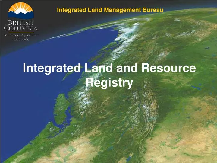
Integrated Land Management Bureau. Integrated Land and Resource Registry. The Integrated Land and Resource Registry is an application that may be used as an initial status (ownership) tool to determine Crown vs. private land. Crown Land??. Private Land??.

E N D
Integrated Land Management Bureau Integrated Land and Resource Registry
The Integrated Land and Resource Registry is an application that may be used as an initial status (ownership) tool to determine Crown vs. private land. Crown Land?? Private Land??
The first step in deciding if a piece of land is Crown or private is determining the actual location. • Do you have: • The legal description? • A map of the area? • A Place name? • A tenure number? • A Grid or GPS location (long/lat.)? • A PID? • A PIN?
Step 1) Use the “Custom Status” tool within the ILRR. Within the “Custom Status” choose the “Location” parameter
We can determine a location In a number of ways, PID, PIN Title #, grid, legal description or the mapviewer. For our example we will use the Mapviewer.
The following map shows the Kamloops area. • I have selected the Crown Grant (to be private land there must be a Crown grant) layer from the ILRR layer folder and created custom colour to make it distinctive: • Land Act Crown Grants • By default the survey parcel layer is also selected.
What do we observe? In our example there are many Crown Grants, but many more Survey Parcels - this may be a “FLAG”. (Potential missing Crown Grants)
Zoom in and turn on the “private” parcels. If spatial is available we will show it. Notice that there are “missing” (areas should be blue) crown grants, this is a data quality problem in Tantalis.
Use the drill down tool to identify PID. Click on the And then click on the parcel you are interested in.
We can now put the PID back into the ILRR, using the Survey Parcel Search
We can determine ownership “type”… In this case Crown Provincial. Users can also use the PID with BC Online.
What if your area doesn’t have spatial for a PID? On the following page you’ll see an example of an area (Kelowna) that doesn’t have spatial for the PID’s. As you can see there are Survey Parcels and Crown Grants. * Notice that there are Survey Parcels without Crown Grants. “FLAG”
I used the “identify visible” drill down tool to bring back the results within this survey parcel. We can now link to GATOR and determine if there are any crown grants on this parcel. *Note: no PID or Crown Grant visible.
As you can see from GATOR there is a number of different mechanisms including a couple of Reversions and a Crown grant. This needs further research!!
Taking the PIN from the GATOR page we can put it into the ILRR “Survey Parcel Search”.
The PIN refers to a Crown Subdivision. If we look at the Primary, by clicking on the hyperlink, we can find additional information.
This Primary has two Crown Subdivisions (the one we just came from and one other), it also has a ROW PIN and two LTO PID’s. By clicking on the LTO PID hyperlink…
We can see that in the Primary there are two PID’s… both are Crown Provincial parcels. Fortunately in this case we can determine by the legal where each are located. North and South ½ of Lot 4090. *We can also take the PID and use it in BC Online to further determine ownership.
Is the search over? Although we have gained some information from the ILRR and GATOR; to be comfortable further research should be done. *Check BC Online, look into all the mechanisms mentioned in GATOR… one of those mechanisms may create an “exclusive” use.
Another example of a piece of land, with a Crown Grant, a reversion and looking up the PIN in the ILRR, it is Crown Provincial.
Here’s an example of a more complicated parcel. There are many mechanisms including a Crown Grant and reversion. Using the PIN in the ILRR “survey parcel search” we find…
There are 5 LTO PID’s associated with that particular parcel.
We find that the 5 PID’s are Crown… one municipal and 4 provincial. Again BC Online will be able to give more information on the owners. *Note: We know that there are 5 PID within the primary… we just don’t know where – no spatial.
What if you are looking over a larger area? Perhaps you/your client has given you a “shape file” or there is a larger location that needs to be statused.
By uploading a shape file and highlighting our same colours, we can see that there is a lot of Crown Granted land in the following slide.
We want to select our “shape” as the Area Of Interest that we would like to analyse. Use the “pick existing polygon” tool to highlight our shape.
Our polygon is now selected. Click on the “Accept AOI”
This is a default screen where users can put a buffer on their areas.
We now have our one parameter selected. We will use the ILRR query to find the legal rights (crown grants, etc.) and we will use the “Create Overlay Report” to give us a list of all PIN’s in our AOI. *In the future will have the ability to list all PID’s within the AOI.
These are the ILRR results. You can see a number of Crown Grants and a link directly to GATOR. By linking to GATOR we can do further research on the interests.
These are some of the results from the SOE query. This is the section on the Primary parcels. We now have a list of all primaries within the AOI. By using the PIN’s with the ILRR “Survey Parcel Search” we can determine ownership.
By taking the first PIN on the list we can see if there are any PID’s associated with it.
Unfortunately we do not currently have spatial for them, but we do know what primary they are in and we can then use BC Online and other tools to get further information. *Users can see the spatial for all primary parcels. * If there is spatial available for the PID, we will show the location.
Where private spatial is available we will show it. This example shows 9 LTO PID’s.
We have ownership information. And we have spatial…
When uploading shape files, users can also use shapes with multiple polygons.
The Overlay report shows a number of survey parcels that should be investigated
GATOR shows a number of Crown grants and reversions… need further investigation.
When putting the PIN back into the ILRR we find there are no LTO PID’s. This would suggest that this parcel will not be “private” although it could be something other than Crown Provincial.
The ILRR provides a great deal of information for determining crown/private land. This does not mean that users should rely on the ILRR alone. Further research using GATOR, BC Online, and other means (paper records) is needed to do a complete status.
Integrated Land Management Bureau Integrated Land and Resource Registry Visit the ILRR www.ilrr.ca Alvin Melton Project Analyst Alvin.melton@gov.bc.ca 250-952-5303