Download
1 / 9
90 likes | 812 Views
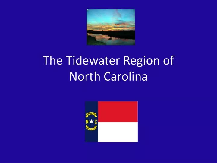
The Tidewater Region of North Carolina. The Tidewater Region. Essential Question: What are the major features of the Tidewater Region?. The Tidewater Region. Important words: Sound Barrier islands Inlet Gulf Stream Wetland Estuary Pocosin Savanna. The Tidewater Region.

E N D
The Tidewater Region • Essential Question: • What are the major features of the Tidewater Region?
The Tidewater Region • Important words: • Sound • Barrier islands • Inlet • Gulf Stream • Wetland • Estuary • Pocosin • Savanna
The Tidewater Region • Narrow strip of North Carolina (NC) along the Atlantic Ocean • 30-50 miles wide • Tides affect the region’s water • sounds: inland bodies of salt/fresh water mix
Barrier Islands • Islands form the beach of the Tidewater • Part of a chain of sand pits sticking up out of the ocean near the shore • Most less than two miles across, barely above sea level, and ever changing due to surf and wind • The Outer Banks are the most famous barrier islands
Barrier Island • At Cape Hatteras islands are widest; Jockey’s Ridge is tallest point (114’) • Inlets: low places in the sand; allows water from the ocean into the sound • “Graveyard of the Atlantic”: nickname for waters near • Cape Hatteras – dangerous due to storms caused by warm Gulf Stream colliding with cold Labrador Current • Cape Fear: true break in the island chain; Cape Fear River flows directly into the Atlantic
The Sounds • Each sound fed by fresh water rivers • Oldest towns in NC near the sounds • Great location for trade along river routes and ocean • Fishing is an important industry • Sediment (soil, clay, gravel) is deposited by the rivers in the sounds – makes them too shallow for large ships • estuaries: salt water wetlands; these marshes are home to shellfish and shrimp
Swamps and Lakes • pocosins: wetland type; Indian name means “swamp on a hill” • trees: laurel, bay, scrub oak • Alligator and Big Pocosin are the largest • savanna: wetland type • tall grasses mix with various pines • example: Green Swamp (home of Venus Fly Trap) • Most natural lakes in NC are in the Tidewater • Lake Mattamuskeet is largest (only 6’ deep) • Least populated area of the state