Download
1 / 7
70 likes | 181 Views
This study presents the implementation and results of a hillslope erosion algorithm utilized over six years (1991-1997) to analyze factors such as spatially variable soil parameters and Manning's roughness coefficient. The research details sediment flux, mass balance, and surface erosion rates measured during periods of high modeled runoff. Key findings include average hillslope erosion rates, road surface erosion metrics, and sensitivities to various factors. Comprehensive references and methodologies are provided to support the analysis conducted using KINEROS2 modeling.

E N D
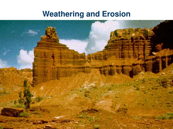
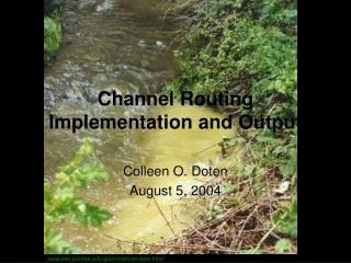
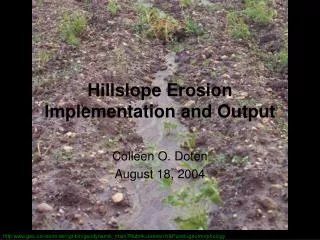
Hillslope ErosionImplementation and Output Colleen O. Doten August 18, 2004 http:www.geo.uni-bonn.de/cgi-bin/geodynamik_main?Rubrik=research&Punkt=geomorphology
Sediment Module Implementation • Spatially variable soil parameters • Manning’s roughness coefficient, n: 0.01 – 0.02 (KINEROS2 model documentation) • Kindex: 30 – 62 1/Joule (Wicks and Bathurst,1996) • d50: 0.1 – 2.0 mm (Dietrich et al.,1982) • Run for a six year period: 10/1/1991 to 9/30/1997 • Hillslope erosion algorithm was run during eight periods of high modeled runoff: • 05/05 - 05/12/1992 • 05/18 - 05/31/1993 • 05/08 - 05/15/1994 • 05/21 - 06/06/1995 • 06/04 - 06/18/1996 • 05/16 - 05/21/1997 • 06/14 - 06/20/1997 • 07/06 - 07/12/1997
Default Output • AggregatedSediment.Values • Hillslope erosion (basin average in mm) • Sediment flux out (basin average in m3) • Total overland inflow (kg) • MassSediment.Balance • Hillslope erosion (basin average in mm) • Total overland inflow (kg) Final Sediment Mass Balance Average Surface Erosion Surface Erosion (mm): -1.42e-01 Surface Erosion (kg/hectare): -3.81e+03
Optional Output • Model Map (binary file) and Graphic Image (real-time): • Hillslope erosion (basin average in mm) • Sediment flux out (basin average in m3)
Model Results Simulated Rates, kg/ha/yr Hillslope erosion: 634 Road surface erosion: 17 – 41 (164 – 394 kg/km road) (3,247–7,842 kg/ha of road) Sediment Yield: 1,000 – 1,020 Published Rates, kg/ha/yr Hillslope erosion: 8 – 100 (north central WA) Road surface erosion: • 3,800 to 500,000 kg/km of road (Olympic Peninsula, WA) • 12,000 to 55,000 kg/ha of road (central ID) Sediment Yield: 813 – 13,500 (coastal OR and CA, western WA)
Sensitivity Analysis • Infiltration • six-year run, maximum difference in the average (daily and over the basin) runoff depth of less than 0.4 mm
References Dietrich, R.V., J.J.T. Dutro, and R.M. Foose, 1982: AGI Data Sheets for geology in the field, laboratory, and office, 2nd ed., American Geological Institute, Falls Church, VA. Engman, E.T., 1986: Roughness coefficients for routing surface runoff, Journal of Irrigation and Drainage Engineering, ASCE,112, 39-53. Helvey, J.P., 1980, Effects of a North Central Washington Wildfire on Runoff and Sediment Production, Water Resources Bulletin, l6, 627-634. Wicks, J.M. and J.C. Bathurst, 1996: SHESED: a physically based, distributed erosion and sediment yield component for the SHE hydrological modeling system, Journal of Hydrology, 175, 213-238. Woolhiser, D.A., 1975: Simulation of unsteady overland flow, Mahmood, K. and V. Yevjevich (eds), Unsteady Flow in Open Channels, V.II, Water Resources Publications, Fort Collins, CO., p. 502.