Download
1 / 25
250 likes | 405 Views
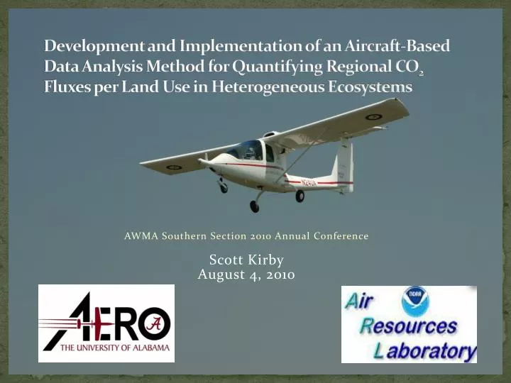
Development and Implementation of an Aircraft-Based Data Analysis Method for Quantifying Regional CO 2 Fluxes per Land Use in Heterogeneous Ecosystems. AWMA Southern Section 2010 Annual Conference Scott Kirby August 4, 2010. Background. CO 2 Exchange (Flux) and Climate Change

E N D
Development and Implementation of an Aircraft-Based Data Analysis Method for Quantifying Regional CO2 Fluxes per Land Use in Heterogeneous Ecosystems AWMA Southern Section 2010 Annual Conference Scott Kirby August 4, 2010
Background • CO2 Exchange (Flux) and Climate Change • Ameriflux Tower Network • Spatial Representativeness in Heterogeneous Landscapes (Scaling) • Towers – Temporally Averaged Fluxes • Aircraft – Spatially Averaged Fluxes
Surface Exchange Measurements • Eddy Covariance Method
Tower-Based Flux Measurements • 30 minute average fluxes are reported to capture samples from all atmospheric turbulence scales • In heterogeneous landscapes, the integrity of tower-based measurements is uncertain due to the issue of unknown source areas (i.e. flux footprints) • Upscaling procedures to extend tower measurements to regional estimates may be biased because tower is not spatially representative of surrounding region • Aircraft have potential to reduce this uncertainty due to their ability to cover a large spatial area within a minimum temporal range • Aircraft encounter turbulence and towers await turbulence
Aircraft-Based Flux Measurements • Aircraft have been used for over 20 years as a surface exchange measurement platform (Lenschowet al., 1981; Desjardins et al., 1982) • Traditionally, aircraft have required a ~3-5 km contiguous averaging length, which is similar to the 30 minute temporal average of a tower, in order to sample all scales of turbulence and obtain a proper flux sample (Gioliet al., 2004) • Major limitation in heterogeneous landscapes
Research Team Left to Right: Jeff French (University of Wyoming), Steve Brooks (NOAA), Charlie Haynes (UA), Derek Williamson (UA), Scott Kirby (UA), Ed Dumas (NOAA) Members not pictured: Ron Dobosy (NOAA), Tilden Meyers (NOAA), Philip Hall (NOAA), Christopher Neale (Utah State University), Karl Elebash (UA)
Pilot’s Seat MFP System Display Rear Windows Passenger’s Seat Interior of Sky Arrow showing the pilot’s seat, the passenger’s seat, and the integrated MFP system display. Also note the removable rear seat windows, as well.
Advantages of Sky Arrow 650 ERA • High Glide Ratio (~16:1) • Higher Rating of Safety • Slower Sampling Speeds • Carbon Fiber Composite Frame • Less Flex and Vibration • More Accurate Attitude Measurements • “Pusher” Propeller • Uncontaminated Samples of Gas and Turbulence • Cost Efficiency • Utilizes High Octane Automotive Gasoline
Pressure Sphere Accelerometers GPS Location and Velocity (Novatel) Aircraft Attitude (Javad and CMIGITS) Environmental Variables CO2 and Water Vapor Surface Temperature Dew Point PAR and Net Radiation Atmospheric Winds Mobile Flux Platform
Why Bondville? • Major national ecosystem (carbon budgeting) • Ameriflux towers operational for >10 years • Very well characterized and studied system • Little topographical relief • Surface roughness characteristics relatively minimal
Flux Fragment Method • Separate fluxes from individual land uses in small-scale heterogeneous ecosystems using aircraft-based data • Basic Concept: Select fragments of aircraft-based flux data based on the land use influencing that measurement and apply the eddy covariance data to the sum of fragments from each specific land use. • Methodology was originally developed using data obtained from the Bondville Intensive 2005. • Components • Aircraft-based measurements [vertical atmospheric wind vector and atmospheric constituent of concern (CO2)] • Remote Sensing • Geographic Information Systems (GIS) • Footprint Modeling • Conditional Sampling
Footprint Functions Taken from: Schmid (1997)
Footprint Model • Kljun et al. (2004) developed from the three-dimensional Langrangian Stochastic footprint model of Kljun et al. (2002) • Valid over a wide range of atmospheric stabilities • Applicable at higher elevations • Crosswind-Integrated (1-dimensional) • Computationally efficient
Conditional Sampling • Fragments having a 85% chance of originating from maize or soybean were assigned that land use flag • The highest probability that still provides an adequate number of fragments should be the most accurate.
Flux Fragment Method versus Ameriflux Towers Bondville Intensive 2005
Research Potential • Aid in development of carbon budgeting • Surface Temperatures • Remote Sensing Calibrations • Reservoir Control Management • Boundary-Layer Profiles • Humidity • Temperature • Unmanned Vehicles • Urban Environments • Small-Scale Heterogeneity
Local Utility • Coastal Plain Pine Plantations • Old Growth versus Managed Stands • Fluxes of pine stands at differing stages of growth • Cotton Farms • Terrestrial and Aquatic Surface Temperatures • Hydrologic Budgeting • Satellite-Based Model Calibration
References • Desjardins, R.L., E.J. Brach, P. Alvo, and P.H. Schuepp (1982). Aircraft monitoring of surface carbon dioxide exchange. Science.216: 733-735. • Gioli, B., F. Miglietta, B. De Martino, R.W.A. Hutjes, A.J. Dolman, A. Lindroth, M. Schumacher, M.J. Sanz, G. Manca, A. Peressotti, and E.J. Dumas (2004). Comparison between tower and aircraft-based eddy covariance fluxes in five European regions. Agricultural and Forest Meteorology. 127: 1-16. • Kljun, N., M.W. Rotach, and H.P. Schmid (2002). A three-dimensional backward lagrangian footprint model for a wide range of boundary-layer stratifications. Boundary-Layer Meteorology. 103(2): 205-226. • Kljun, N., P. Calanca, M.W. Rotach, and H.P. Schmid (2004). A simple parameterisation for flux footprint predictions. Boundary-Layer Meteorology. 112: 503-523. • Lenschow, D.H., B.B. Stankov, and R. Pearson, Jr. (1981). Estimating the ozone budget in the boundary layer by use of aircraft measurements of ozone eddy flux and mean concentration. Journal of Geophysical Research. 86: 7291-7297. • Schmid, H.P. (1997). Experimental design for flux measurements: matching scales of observations and fluxes. Agricultural and Forest Meteorology.87: 179-200. • Kirby, S.A., R.J. Dobosy, D.G. Williamson, and E. Dumas (2008). An aircraft-based data analysis method for discerning individual fluxes in a heterogeneous agricultural landscape. Agricultural and Forest Meteorology. 148: 481-489.