Download
1 / 63
630 likes | 766 Views
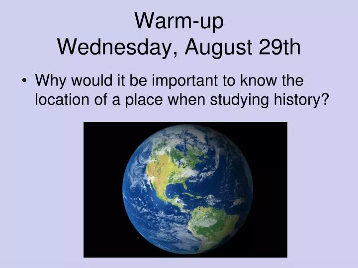
Warm-up Wednesday, August 29th. Why would it be important to know the location of a place when studying history?. Geography. Title your Sheet of Paper “ Five Themes of Geography” What is it? Write this definition Geography: The scientific study of the Earth’s surface. The Five Themes:

E N D
Warm-upWednesday, August 29th • Why would it be important to know the location of a place when studying history?
Geography • Title your Sheet of Paper “Five Themes of Geography” • What is it? Write this definition • Geography: The scientific study of the Earth’s surface. • The Five Themes: • Location • Place • Human-Environmental Interactions • Movement • Region
Theme 1: Location • Where is it? • Relative location- where is it in relation to some other place (example- BLRA is behind the recreation center)? • Absolute location- precise description of location –latitude and longitude • Parallels of latitude measure distances north and south of the line called the Equator. • Meridians of longitude measure distances east and west of the line called the Prime Meridian. • Geographers use latitude and longitude to pinpoint a place’s absolute location. • Latitude and longitude are like an imaginary grid across the globe and the coordinates on that grid tell us exactly where something is located.
Theme 2: Place • Place: refers to the mix of human and nonhuman features at a given location. • All places have characteristics that give them meaning and character and distinguish them from other places on Earth. • Geographers describe places by their physical and human characteristics. • Physical characteristics- animal life • Human characteristics- architecture, land use, transportation networks. • Languages, as well as religious and political ideologies, help shape the character of a place.
Place Activities • On a sheet of paper, write a description of a place that is known without naming it. Think about the physical and human characteristics of this place. Trade with another student and see if they can name the place.
Theme 3: Region • Region- an area with at least one unifying physical or human feature such as climate, landforms, population, or history. • The theme of region is very similar, yet quite different, from the theme of Place. A region can include a place or be part of a place. A region can be as small as a school, or as large as an ocean or continent.
Write three different ways these two regions are different. Colorado Springs, Colorado New York City, New York
Theme 4: Human/Environment Interaction • Human-environment interaction considers how people affect their environment, or their natural surroundings, and how their environment affects them. • The environment means different things to different people, depending on their cultural backgrounds and technological resources. In studying human/environment interaction, geographers look at all the effects—positive and negative—that occur when people interact with their surroundings. Sometimes a human act, such as damming a river to prevent flooding or to provide irrigation, requires consideration of the potential consequences. The construction of Hoover Dam on the Colorado River, for example, changed the natural landscape, but it also created a reservoir that helps provide water and electric power for the arid Southwest. Studying the consequences of human/environment interaction helps people plan and manage the environment responsibly
Photo Fun • Number your page 1-4. • Look at the next four photos and try to identify where these dwellings might be built. • Identify features that are advantages in the environment where these houses are located. Think about how the people living in these dwelling have adapted to their environment.
Theme 5: Movement • Movement explores how people, goods, and ideas get from one place to another. • Write down your favorite food. • Write down another place that you have lived (if you have) or where your parents used to live. • Look at the tag in your shoes and write down where your shoes were made.
Try to figure out where each food was first made. On a map, draw a line from where these food were made to Colorado Springs. This is an example of the movement of ideas. How to do something, or how to make something, is an idea. • Draw lines in a different color from the places people have lived to Colorado Springs. This is an example of the movement of people. • Draw lines in a different color from the places your shoes are made. This is an example of the movement of goods and products.
END OF FIVE THEMES LESSON PROJECT • After an introduction to the five themes of geography, divide the class into five cooperative groups. Allow each group to choose one of the five themes of geography. After all the themes of geography have been selected. Hand out copies of old magazines to each group. Instruct the group that they are to search through the magazines for pictures that depict their theme of geography. After selecting the pictures for their theme, they are to glue the pictures to the posterboard and make a collage. They are to write their theme at the top of the posterboard. After all groups have finished their theme posters, a spokesperson is selected from each group. Each cooperative group will take turns having their spokesperson present their group's poster to the rest of the class, explaining why they chose the pictures that are on their poster and how the pictures relate to their theme.
Geography • Scientific study of the Earth’s surface.
Location • Where is it? • Relative location- where is it in relation to some other place. Absolute location- precise description of location.
Place • A location described by specific characteristics. Both natural and human, or cultural, characteristics.
Region • Geographers divide the world into manageable units of study called regions. Some regions are defined in terms of a single characteristic, while others meet a complex set of criteria. The criteria for defining a region can be either natural or cultural and may change over time.
Human-Environment Interaction • The ways different groups interact with their environments are affected by cultural background and technological resources. Geographers look at all effects- positive and negative- that occur when people interact with their surroundings.
Movement • People, products, information, and ideas move in patterns. The theme of movement concerns human interactions; the ways we are linked with regions, cultures, and people beyond our immediate environment.
Archipelago: a large group of islands • Atoll: a ring of coral that encloses a pool of seawater
Badlands: wasteland that has been carved into unusual shapes by wind and water • Bay: a body of water that extends into the land
Beach: a rocky or sandy edge of land along a body of water • Butte: an isolated hill with sloping sides and a small, flat top
Canyon: a deep valley with steep sides • Cape: a point of land that juts out into water
Cave: a hollow area in the earth with an opening to the outside • Channel: a body of water that connects two larger bodies of water
Cliff: a high, steep face of rock or earth. • Continent: one of the seven great land masses on earth.
Delta: a fan-shaped deposit of sand and mud at the mouth of a river. • Desert: a region of little rainfall where few plants and animals live.
Dune: a hill of sand formed by blowing wind • Fjord: a long, narrow inlet of the sea between cliffs or slopes.
Forest: a large area of land covered with trees and other plants • Geyser: a spring that spouts hot water and steam from time to time
Glacier: a large mass of ice that moves very slowly down a mountain or through a valley • Gulf: a large body of salt water that is partly enclosed by land
Hill: a raised part of the earth’s surface that is lower than a mountain • Iceberg: a huge block of floating ice that has broken off a glacier
Island: a piece of land that is surrounded by water • Isthmus: a narrow strip of land that connects two larger land areas
Jungle: an area of thick, tangled plants usually found near a river or swamp • Lagoon: a shallow body of water that is partly cut off from the sea
Lake: an inland body of fresh or salt water • Marsh: a low, wet area where grasses, rushes, and cattails grow.
Mesa: a raised area with steep sides and a large, flat top • Mountain: a high area of land with steep sides and a sharp peak
Ocean: the body of salt water that covers most of the earth. • Peninsula: an area of land that is nearly surrounded by water
Plain: a large, low area of flat or rolling land with few trees. • Plateau: a flat area of land that is higher than the land around it
Prairie: a region of flat or hilly land covered by tall grasses. • River: a long body of water that flows over land.
Sea: a body of salt water that is partly enclosed by land • Sound: a long wide ocean inlet
Strait: a narrow body of water that connects two larger bodies of water • Swamp: a low, wet area where trees and high shrubs grow
Tundra: a cold, dry, treeless region where mosses, grasses, and lichens grow • Valley: an area of low land between mountains or hills.
Volcano: a hole in the earth’s crust through which lava, gases, and ash are released • Waterfall: a stream of water that falls from a high place
2) Fjord, Delta, or Glacier 1) Marsh, Prairie, or Plain • A large mass of ice that moves very slowly down a mountain or through a valley. • A low, wet area where grasses, rushes, and cattails grow. 3) Isthmus, Delta, or Dune 4) Canyon, Cliff, or Badlands • A fan shaped deposit of sand and mud at the mouth of a river. • Wasteland that has been carved into unusual shapes by wind and water. 5) Archipelago, Atoll, or Lagoon 6) Channel, Strait, or Peninsula • A ring of coral that encloses a pool of seawater • A narrow body of water that connects two larger bodies of water.
8) Canyon, Valley, or Hill 7) Mesa, Butte, or Plateau • An area of low land between mountains or hills. • A flat area of land that is higher than the land around it. 9) Fjord, Canyon, or Sound 10) Beach, Archipelago, or Bay • a long, narrow inlet of the sea between cliffs or slopes. • A large group of islands.
2) Choose One • Glacier • Fjord • Delta
3) Choose One • Dune • Isthmus • Delta