Download
1 / 11
110 likes | 250 Views
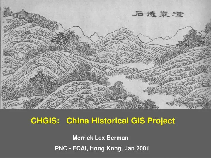
CHGIS: China Historical GIS Project. Merrick Lex Berman. PNC - ECAI, Hong Kong, Jan 2001. Robert Hartwell’s “China History Project”. Tan Qixiang’s “Historical Atlas of China”. Skinner’s “Macroregional Analysis”. Crissman’s “China GIS Datasets”. 1. Place-names, variant names.

E N D
CHGIS: China Historical GISProject Merrick Lex Berman PNC - ECAI, Hong Kong, Jan 2001
1. Place-names, variant names 2. Administrative hierarchy 3. Administrative coding system 4. Locations of settlements 5. Identification of capitals and administrative seats 6. Spatial data in GIS 7. Selection of records by spatial or temporal query 8. Layer comparison and import of other datasets Objectives in the CHGIS project design
Administrative Change Table Variant Name Table Place Geocode Table Capital Feature Table Administrative Seat Table Admin Hierarchy Table Feature Classification Table Temporal Sequence Table Spatial Data Table Version Variant Code Table one to one one to many Administrative Feature Table one to one Historical Administrative Code Table Tables in the relational database
CHGIS: China Historical GISProject website: fas.harvard.edu/~chgis