Download
1 / 62
630 likes | 802 Views
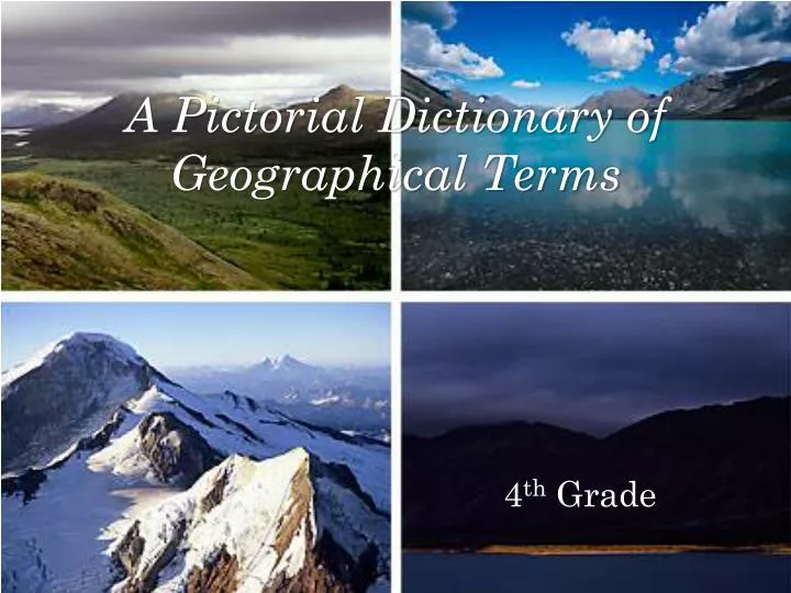
A Pictorial Dictionary of Geographical Terms. 4 th Grade. basin bay bayou bog boundary butte canyon continent Continental Divide coral crevasse delta desert dune equator. 16. estuary 17. fault 18. geyser geyser glacier Glacier 22 gorge 23 grassland 24 gulf 25 gulf

E N D
basin bay bayou bog boundary butte canyon continent Continental Divide coral crevasse delta desert dune equator 16. estuary 17. fault 18. geyser geyser glacier Glacier 22 gorge 23 grassland 24 gulf 25 gulf 26 island 27 isthmus 28 lake 29 levee 30 longitude Table of Contents 31 marsh 32 mesa 33 moraine 34 ocean 35 peninsula 36 piedmont 37 plains 38 plateau 39 pond 40 prairie 41 reef 42 river 43 savanna 44 sierra 45 source 46 springs 47 strait 48 stream 49 swamp 50 tributary 51 Tropic of Cancer 52Tropic of Capricorn 53 tundra 54 valley 55 volcano 56 waterfall 55 wetland
Basin • A region drained by a river and the streams that flow into it.
Bay • A body of water partially surrounded by land but having a wide opening to sea. A bay is usually smaller then a gulf and larger than a cove.
BAYOU • A sluggish marshy stream connected with a river, lake or ocean, common in the southern United states.
Bog • An area of wet spongy ground made of decaying plant matter.
Boundary • A boundary is a limit or border around a country, city, state, or other area.
Butte • A steep-sided hill with a flat top, often standing alone.
Canyon A deep narrow valley with steep cliffs cut into the earth by running water ,gorge.
CONTINENT One of seven great land masses of the Earth, including Africa, Antarctica, Asia, Australia, Europe, North America, and South America. South America:
CONTINENTAL DIVIDE • An area of high ground from each side of which the river systems of a continent flow in opposite directions.
Coral • A mass of this substance, often branched or rounded in shape, as that forming a small island or reef.
Crevasse • A crack in a glacier or levee.
DELTA A mass of sand, mud ,and earth that accumulates at the mouth of a river, usually shaped like a triangle.
Desert • A dry barren region, often covered with sand, having little or no plant life.
DUNE • A hill or ridge of wind-blown sand.
Equator • An imaginary line around the middle of the earth half way between the north and south. The equator divides the earth into the northern and southern hemispheres.
Estuary • An arm of the sea that extends inland to meet the mouth of a river.
FAULT • A fault is a break in a rock mass caused by a shifting of the earth crust.
GEYSER • A natural hot spring that regularly ejects a spray of steam and boiling water into the air.
Geyser • A natural hot spring that regularly ejects a spray of steam and boiling water into the air.
GLACIER • A large mass of ice slowly moving over a mountain or through a valley formed over many years from packed snow in areas where snow gathers faster than it melts.
GLACEIR • A large mass of ice slowly moving over a mountain or through a valley , formed over many years from packed snow in areas where it accumulates faster than it melts.
Gorge • A deep narrow passage with steep rocky sides, often with a stream flowing through it. The gorge was the only pass through the mountains.
Grassland • An area such as a prairie or meadow covered with grass.
GULF A large body of water or sea water that is partly surrounded by land.
GULF • A Gulf is a large body of ocean or sea water that is partly surrounded by land.
ISLAND A BODY OF LAND,ESPECIALLY ONE SMALLER THAN A CONTINENT,ENTIRELY SURROUNDED BY WATER.
ISTHMUS • A narrow strip of land with water on both sides connecting two larger masses of land.
Lake • A large inland body of fresh water or salt water.
Levee • A bank of earth or other material built up along a river to keep it from flooding.
Longitude • Distance east or west on the earth `s surface, measured in degrees from an imaginary vertical line.
Mesa • A high land area with a flat top and steep sides, larger than a butte and smaller than a plateau, common in southwest United States.
Moraine • Moraine is a mass of boulders, stones, and other material that has been carried and deposited by a glacier.
Ocean • The mass of saltwater that covers about 72 percent of the surface of the Earth.
Peninsula • A piece of land that projects into a body of water that is connected to a larger land mass.
Piedmont • A plateau region of the eastern United States extending from New York to Alabama between the Appalachian Mountains and the Atlantic coastal plain.
Plains • A large, flat area ofland withfew trees.
PLATEAU • An elevated level expanse of land.
Pond • A body of water that is smaller than a lake.
POND • A still body of water smaller than a lake.
PRAIRIE • A wide area of flat rolling, mostly a tree less grass land, especially the large plain of Central America.
REEF • A ridge of rock, or coral that rises to or close to the surface of a body of water.
River • A large natural stream of water that empties into an ocean or lake.
Sierra • A rugged range of mountains having an irregular outline somewhat like the teeth of a saw.
Source • The beginning of a stream or river.
Springs • A natural fountain or flow of water.
Strait • A narrow channel that connects two larger bodies of water.