Download
1 / 20
200 likes | 290 Views
Learn how to compile emergency data for drought response with Enterprise GIS at DWR, from obtaining spatial data to services offered and next steps. Explore the process, challenges, and solutions to better understand and address drought impacts.

E N D
Compiling and Developing Emergency Data for Use in Drought Response Aaron Cuthbertson and Christina Boggs
Overview • Background/Intro • Process • Services • Next Steps
Background/Intro Deciding we need a path
Enterprise GIS at DWR We have infrastructure, we don’t have workflows. "Lost in the forest, again" by Des D. Mona Some Rights Reserved - Link
From Foraging to Forging (a path) • Historically, obtaining spatial data at DWR = foraging • Infrastructure now in place for Enterprise GIS data stores • Workflows are theoretical; need to be put into practice
From Foraging to Forging (a path) • REMOVE the ‘A’! Foraging -> Forging • There is no ‘A’ in Enterprise GIS! • (Unless you spell out ‘Geographic Information System’, in which case my metaphor breaks down, so don’t)
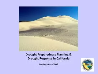
Drought Emergency Drives Need "Drought" by Ewan Bellamy Some Rights Reserved - Link
Dataset Background • Locations of water ‘agencies’ needed to understand drought impacts • What do we mean by water agency? • There are a variety of sources • CDPH • USBR (many) • Program-specific (many) • No single data source has everything.
Process Where should the path go?
Design Decision: Better to have stripped down spatial data and robust tabular data.
Process: Tabular WARNING: OVERSIMPLIFICATION AHEAD! • Compiled 9 datasets • Normalized Agency Names
Process: Spatial • Problem: One agency, many polygons • Factors to consider • Solution: Prioritization
Process: Metadata • This was rough. • ArcGIS Desktop / ArcGIS Catalog Metadata Editor • ArcGIS GeoPortal for Server • XML Editing • ArcGIS GeoPortal for Server • ArcGIS Desktop / ArcGIS Catalog Metadata Editor • Built a VBA tool
Services Cutting the path
Services • Mid-stream we’re switching from Oracle to SQL Server. • Internal Enterprise Geodatabase • Drought mandates data sharing • Useful sharing • Spatial + Tabular
Next Steps Walking the path
Next Steps • Keep editing • Eat the dog food • Make other deliverables, stay current. • Urban WaterManagement Plans • Agricultural Water Management Plans • Drought Declarations