Download
1 / 28
280 likes | 373 Views
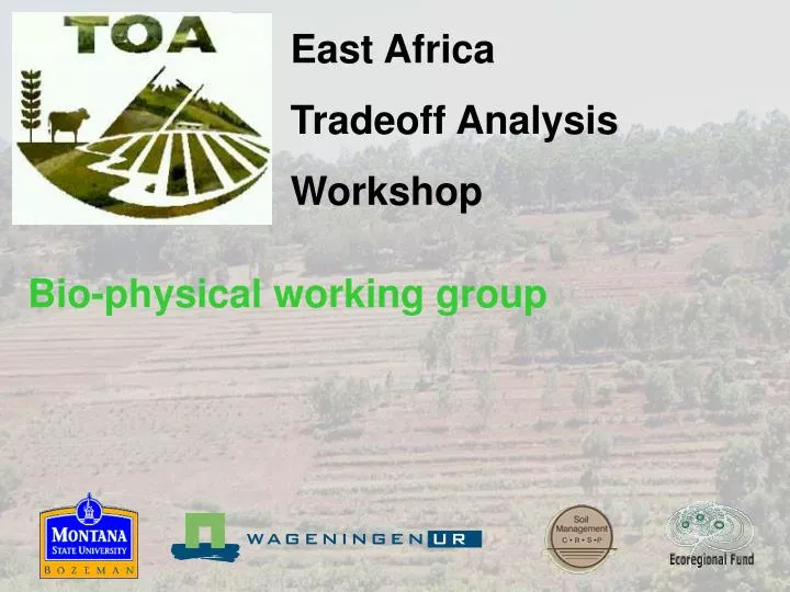
East Africa Tradeoff Analysis Workshop. Bio-physical working group. Workshop Program. Objectives. Get acquainted with the bio-physical datasets. Learn how to set up data for the TOA model. Backgrounds on Nutmon and DSSAT simulations. Relevance of spatial variability.

E N D
East Africa Tradeoff Analysis Workshop Bio-physical working group
Objectives • Get acquainted with the bio-physical datasets. • Learn how to set up data for the TOA model. • Backgrounds on Nutmon and DSSAT simulations. • Relevance of spatial variability. • Discuss the new advances to deal with data limitations and soil dynamics • Understand the process to run advanced scenarios.
Today’s program 8:30-9:00 General introduction 9:00-10:00 The NUTMON toolbox 10:00-10:30 Coffee 10:30-11:00 DSSAT 11:00-12:15 Discussion questions 12:30-13:30 Lunch 13:30-14:30 NUTMON exercises 14:30-15:00 DSSAT and inherent productivities 15:00-15:30 Coffee 15:30-17:00 Analysis of variance
Tomorrow’s program 8:30-9:00 General introduction 9:00-10:30 Climate change scenarios 10:30-11:00 Coffee 10:30-12:00 Drought resistant maize varieties 12:00-12:30 Discussion
Basic GIS data for Machakos See c:\to31_mk\arcview\machakos.apr
Data acquisition • Digital soil mapping • Climate interpolation • Model callibration
Traditional soil survey 250,000 Number of observations 62,500 10,000 2,500 100 625 Scale
Causes of soil variability • Parent material • Topography • Tillage erosion • Land management • Climate
Results R2
Results R2
Cause 3: Soil variability Tillage erosion = f(distance, topography) Strong tillage erosion No tillage erosion
Results R2
Results R2
Results R2