Download
1 / 9
100 likes | 273 Views
CORPS OF ENGINEERS REGULATORY PROGRAM WETLAND DELINEATION MANUAL August 26, 2005. Background. Clean Water Act (1976) Implementing Regulations Definition of Waters of the U.S. EPA: 404(b)(1) guidelines (1980) Technical Report Y-87-1. Purpose and Intent.

E N D
CORPS OF ENGINEERS REGULATORY PROGRAM WETLAND DELINEATION MANUAL August 26, 2005
Background • Clean Water Act (1976) • Implementing Regulations • Definition of Waters of the U.S. • EPA: 404(b)(1) guidelines (1980) • Technical Report Y-87-1
Purpose and Intent • Describe technical guidelines and methods using a multi-parameter approach to identify and delineate wetlands for purposes of Section 404 of the CWA • Intent is not to change jurisdiction of the CWA • Not a classification system
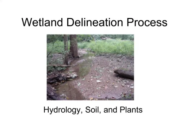
Manual Organization • Introduction • Technical Guidelines • Wetlands • Deepwater aquatic habitats • Non-wetlands • Characteristics • Hydrophytic vegetation • Hydric soils • Wetland hydrology • Methods • Routine • Comprehensive • Atypical • Problem Areas
Wetland: Defined • Those areas that are inundated or saturated by surface or ground water at a frequency and duration to support, and that under normal circumstances do support, a prevalence of vegetation typically adapted for life in saturated soil conditions.
Wetland Hydrology • Inundated or saturated • Upper 12 inches • Growing season • Period when air temperatures are above 28 °F at a frequency of 5 years in 10 • Greater than 5 % • Criteria • Visual observation of inundation/saturation • At least one primary indicators • At least 2 secondary indicators
Wetland Hydrology • Sources of Data • Corps District offices • U.S. Geological Survey • National Oceanic and Atmospheric Administration • Natural Resources Conservation Service • State, county, and local agencies • Developers and consultants
Wetland Hydrology • Primary Indicators • Observation of inundation • Observation of soil saturation • Water marks • Drift lines • Sediment deposits • Drainage patterns in wetlands • Secondary Indicators (2 or more required) • Oxidized root channels • Water-stained leaves • Local soil survey data • FAC-neutral test
Hydrology Indicators Water marks on trees Oxidized root channels