Download
1 / 17
170 likes | 303 Views
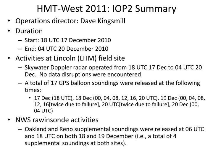
HMT-West 2011: IOP2 Summary. Operations director: Dave Kingsmill Duration Start: 18 UTC 17 December 2010 End: 04 UTC 20 December 2010 Activities at Lincoln (LHM) field site Skywater Doppler radar operated from 18 UTC 17 Dec to 04 UTC 20 Dec. No data disruptions were encountered

E N D
HMT-West 2011: IOP2 Summary • Operations director: Dave Kingsmill • Duration • Start: 18 UTC 17 December 2010 • End: 04 UTC 20 December 2010 • Activities at Lincoln (LHM) field site • Skywater Doppler radar operated from 18 UTC 17 Dec to 04 UTC 20 Dec. No data disruptions were encountered • A total of 17 GPS balloon soundings were released at the following times: • 17 Dec (18 UTC), 18 Dec (00, 04, 08, 12, 16, 20 UTC), 19 Dec (00, 04, 08, 12, 16[twice due to failure], 20 UTC[twice due to failure], 20 Dec (00, 04 UTC) • NWS rawinsonde activities • Oakland and Reno supplemental soundings were released at 06 UTC and 18 UTC on both 18 and 19 December (i.e., a total of 4 supplemental soundings at both sites).
HMT-West 2011: IOP2 Summary • Autonomous instrument operation problems • Blue Canyon: Surface meteorology tower was blown over during the latter portion of the IOP (~00 UTC 20 Dec); data from the site after this time should be viewed with caution. • Norden: Power outage at the site stopped collection of Parsivel disdrometer and Hotplate precipitation gauge data starting around 19 UTC 19 Dec through the end of the IOP. • Sugar Pine Dam: Intermittent power outages at the site disrupted collection of S-band precipitation profiler and Parsivel disdrometer data starting around 16 UTC 19 Dec through the end of the IOP.
HMT-West 2011: IOP2 Summary • Overview This 58 hour IOP was associated with an atmospheric river (AR) that had its origins just north of Hawaii in a plume of very moist air that had been pushed northward from near the equator. The AR was focused on central and southern California during most of the event, with peak IWV values of > 4 cm just off of Pt. Conception. However, two different waves developed on the frontal zone, one during the early part of 18 Dec and the other during the middle part of 19 Dec. These waves displaced the AR slightly northward, allowing stronger SSW winds to advect higher-valued IWV (~3 cm) into northern California during these periods, which resulted in the development of widespread precipitation along the northern Sierra and the adjacent central valley. Barrier jets were evident along the Sierra during both frontal wave episodes. There was not an obvious frontal passage associated with the first period of widespread precipitation, but the second period of widespread precipitation was followed by a distinct narrow-cold-frontal rainband (NCFR). Sierra snow levels for the IOP started at ~4 kft early on 17 Dec but rose to ~7.5 kft late on 17 Dec. The snow levels fluctuated between 5.5 and 7.5 kft on 18-19 December before descending to ~4 kft after NCFR passage around 00 UTC 20 Dec. Precipitation accumulations for the IOP were 7” to 9” in the Sierra and 2” to 4” in the Sacramento valley. The images in the following slides provide additional context for the IOP
Synoptic Evolution 12 UTC 17 December 00 UTC 18 December 12 UTC 18 December 00 UTC 19 December
Synoptic Evolution 12 UTC 19 December 00 UTC 20 December 12 UTC 20 December
IR Satellite Evolution 12 UTC 17 December 00 UTC 18 December 12 UTC 18 December 00 UTC 19 December
IR Satellite Evolution 12 UTC 19 December 00 UTC 20 December 12 UTC 20 December
Winds and Water Vapor Flux @ Sloughhouse 18 December 17 December
Winds and Water Vapor Flux @ Sloughhouse 20 December 19 December
KDAX Radar Reflectivity Evolution 15 UTC/17 Dec 19 UTC/17 Dec 23 UTC/17 Dec 03 UTC/18 Dec 07 UTC/18 Dec 11 UTC/18 Dec 15 UTC/18 Dec 19 UTC/18 Dec
KDAX Radar Reflectivity Evolution 23 UTC/18 Dec 03 UTC/19 Dec 07 UTC/19 Dec 11 UTC/19 Dec 15 UTC/19 Dec 19 UTC/19 Dec 23 UTC/19 Dec 03 UTC/20 Dec
Vertical Precipitation Structure @ Sugar Pine 18 December 17 December Radar Reflectivity Doppler Vertical Velocity and Snow Level
Vertical Precipitation Structure @ Sugar Pine 20 December 19 December Radar Reflectivity Doppler Vertical Velocity and Snow Level
CNRFC Precipitation Gauge + Mtn. Mapper QPE 24 h ending 12 UTC 18 Dec 24 h ending 12 UTC 19 Dec 24 h ending 12 UTC 20 Dec