Download
1 / 18
180 likes | 303 Views
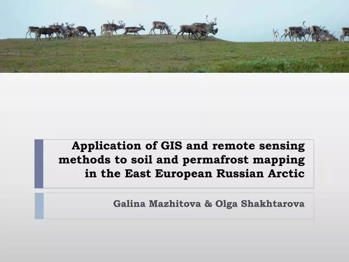
Application of GIS and remote sensing methods to soil and permafrost mapping in the East European Russian Arctic. Galina Mazhitova & Olga Shakhtarova. Approaches to digital soil mapping. digitizing wall soil maps compiling vector soil maps with the use of satellite imagery

E N D
Application of GIS and remote sensing methods to soil and permafrost mapping in the EastEuropean Russian Arctic Galina Mazhitova & Olga Shakhtarova
Approaches to digital soil mapping • digitizing wall soil maps • compiling vector soil maps with the use of satellite imagery • attempts to produce raster soil maps Problem: genetic soil type can not be remote sensed more or less directly
Soil mapping for the purpose of assessing soil carbon stocks EC funded TUNDRA project (TUNdra Degradation in the Russian Arctic). The Usa is the largest tributary of the Pechora with the basin area 93,500 km2. Near-surface permafrost occurs in 36% of the basin area.
Soil map of the Usa river basin Kuhry et al., 2002 Mazhitova et al., 2003
Vegetation classes show only slightly higher inner variance in soil carbon densities as compared to soil classes, however, a widely distributed shrub-moss tundra vegetation class proved to be irrelevant to soil carbon
Usa basin: comparison of upscaling methods Vegetation/landscape classes based on Landsat 5 TM images (pixel size 30m x 30 m). Carbon stock 1001Tg C (upper 30 cm layer) and 2914Tg C (total). Soil classes based on State Soil Map of the USSR, 1: 1 mln, average polygon size 144 km2. Carbon stock 1090 Tg C (upper 30 cm layer) and 2781Tg C (total).
Example of soil GIS layers (1:25000 field survey) satellite image FAO/WRB soil classes depths of seasonal thaw texture/parent material
GIS theme of active layer depths • Thaw depth > 2 m • Thaw depth 1-2 m and > 2 m • Thaw depth 1-2 m • Thaw depth 1-2 m and < 1 m • Thaw depth < 1m трасса газопровода
Permafrost distribution and temperatures Oberman, Mazhitova, 2003 Mazhitova, Oberman, 2004 The original map was generalized for the demonstration purposes.
Using the permafrost digital map for the assessing risk levels for infrastructure under climate warming and permafrost melting Estimated were: • Total length and percentage of different types of infrastructure on ʼhighriskʼ permafrost • and on ʼhigh risk permafrost in peaty soilʼ in the Usa Basin. Infrastructure types considered were: • Roads • Railroads • Pipelines • Powerlines • Settlements Mazhitova et al., 2004
Mean ground temperature data downscaled to 1 km grid for the purpose of treeline dynamics analysis T. Virtanen, K. Mikkola, A. Nikula, J. H. Christensen, G.G. Mazhitova, N.G. Oberman, and P. Kuhry Modeling the Location of the Forest Line in Northeast European Russia with Remotely Sensed Vegetation and GIS-Based Climate and Terrain Data. Arctic, Antarctic, and Alpine Research, Vol. 36, No. 3, 2004.
Quantifying the carbon budget in Northern Russia: past, present and future CARBO-North The 6th Framework Program of the European Commission Sub-Priority 6.3: Global Change and Ecosystems topic I.1.1. 'Regional carbon and greenhouse gas budgets' The location map of study sites
Mesoscale and detailed geocryological mapping as a basis for carbon budget assessment Together with the geological prospecting company Fundamentproekt (Moscow) we are producing maps where landscape classes, permafrost and soils will be showed in the framework of the same polygonal system. Rivkin et al., in print
The raster map results from the processing of satellite images Unsupervized classification
The images have been classified in ERDAS IMAGINE v.9.1 program according to the landscape class