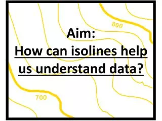
Mastering Isolines: Rules, Visualization & Applications
250 likes | 274 Views
Learn how to draw isolines such as isotherms, isobars, and contours following rules like no crossing, gentle curves, and closed loops. Explore contour line rules and visualizations. Discover gradient variations and practice making contour maps.

Mastering Isolines: Rules, Visualization & Applications
E N D
Presentation Transcript
Isolines • An isoline is a line connecting points of equal value.
Examples of isolines: • Isotherms: • points of equal temperature • Isobar: • points of equal barometric (air) pressure • Contour: • points of equal altitude or elevation • Anything else you can get a value for. • (The weather channel loves isolines!)
Rules for Drawing Isolines: • 1. Isolines connect points of equal value. 5 5 10 10 10 10 15 15
2. Isolines are gentle, curving lines- no sharp corners. 5 5 10 10 10 10 15 15
3. Isolines are always closed curves even though the map might only show part of it.
4. Isolines NEVER cross- this would mean that one point has two different values. Ex: one spot has two temperatures? 60 ° 50 ° 40 ° 30 ° X 20° Z Y
5. Isolines usually are parallel. (They have a parallel trend.)
Isoline and Contour Line Rules • Contour line must never split or divide • Contour lines must never simply end except at the edge of a map • Contour lines represent one and only one elevation • Contour lines may never intersect other contour lines. Overhanging cliffs are the exception
Rules continued • Contour lines form a V-pattern crossing streams. • V will always point upstream • Contour lines close together represent a steep slope or gradient, widely spaced lines indicate a gentle slop. • Concentric circles of contour lines indicate a hill top or mountain peak • Concentric circles of hachured contour lines indicate a closed depression
Visualizations of contour lines • http://geology.asu.edu/~sreynolds/topo_gallery/topo_gallery.htm
Gradient • Gradient shows how quickly the value changes from one point to another.
A steep (high) gradient changes quickly and the isolines are close together. • A gentle (low) gradient changes slowly and the lines are far apart. Steep area Gentle area
Making Contours worksheets • Worksheets can be printed from: • http://www.rcmurphy.net/Medina%202005/documents/Contours123.doc