Download
1 / 12
130 likes | 322 Views
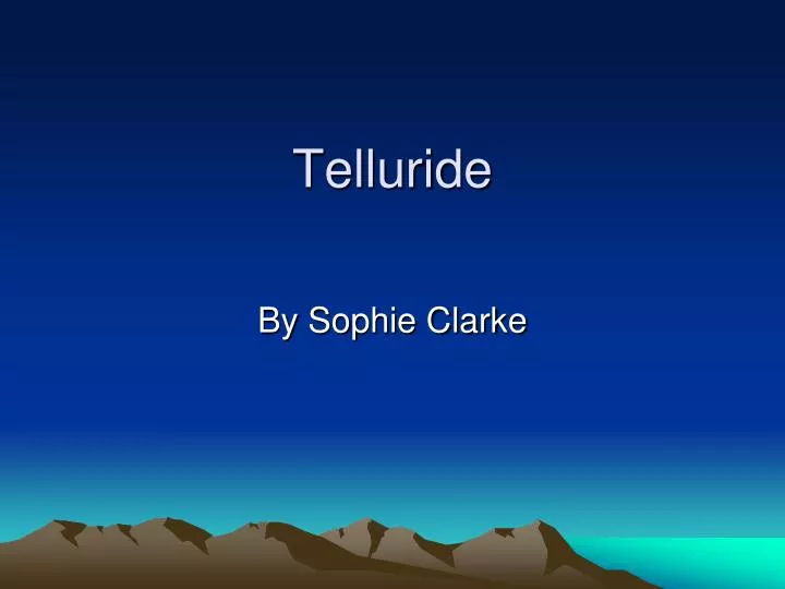
Telluride . By Sophie Clarke . How where you live affects how you live? . Elevation 8750 ft. above sea level. topographic.

E N D
Telluride By Sophie Clarke
Elevation 8750 ft. above sea level topographic
Telluride’s Rocky Mountains are mostly made up of the sedimentary rocks Conglomerate and Limestone. These rocks are located at a longitude of 107.82 west and a latitude of 37.94 north in southwest Co. conglamerate limestone
Telluride is in a u- shape valley created by millions of years of glacial activity. Thus, when the large glacier melted it deposited millions of tons of sediment and rock creating a landslide, forming Telluride.
Water location/special landforms • Telluride’s water location is the San Miguel river. This river runs right next to Telluride’s main street ( shopping area). The San Miguel river gets a fraction of its water basis from Bridal Veil Water Fall. Colorado’s largest free falling water fall. bridal veil
Historic Land Changes • Historic land changes in Telluride are when miners from the 1800’s came to Telluride for zinc, coal, silver, and gold. When they arrived they blew up the mountain using dynamite. When they did so, they turned boulders and large rock into sediment, speeding the weathering and erosion process there.
People Living: people, animals ( bears, birds, pets ect. ) vegetation and organisms Working: lift instructors, lodging, food services, construction, retail services, education and unemployed 6.8% Buildings: Liberty Bell Mine Camp, Idarato mine, and Telluride Christain Fellowship Recreational activities: skiing, snow boarding, ice skating, river rafting, fishing, and golf Landform features: San Miguel river and the rocky mountains People go there: recreational activities, festivals, and the stores
The time I went there • The time I went Telluride I saw many layers of conglomerate and limestone rock. In addition, I also saw much evidence of chemical weathering due to rust. I also saw that there was rock abrasion happening because the flat rocks, seen and felt in the river. People there had adjusted to the harsh climates of Telluride, I noticed this, because of the caution signs stating to drive slow do to ice. When I went there I skied using the landforms biosphere and geosphere.
The Sphere’s Biosphere: all the Living organisms From people to Pine trees. Hydrosphere: All the water basis in Telluride there largest hydrosphere unit is the San Miguel river. In which, erosion happens differently like by the suspend load ( sediment flowing down river) or by bed load (sediment moved by bouncing, sliding, or rolling)
geosphere: Is the rocky Mountains that run Through Telluride. Under Telluride’s main crust there are large Crystals that why mining was so popular. Then there is mantle lithosphere ( body of rock that help plates move). Then there is magma just Like any area. Atmosphere: is the change in elevation, since most Residence come from other towns. People cross trough the tropo – sphere ( first layer of atmosphere). The spheres
References • www. Topography. Com • Big book of questions and answers • www. Telluride. Org • Earth Comm • Topo. com