Download
1 / 9
90 likes | 304 Views
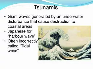
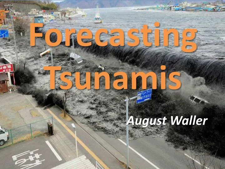
Forecasting Tsunamis. August Waller. Tsunamis:. Mostly caused by underwater earthquakes 80% in Pacific "Ring of Fire" Usually series of waves - wave train Usually up to 1m high in deep water WWII the New Zealand Military Forces attempted to create tsunamis as weapon

E N D
Forecasting Tsunamis August Waller
Tsunamis: • Mostly caused by underwater earthquakes • 80% in Pacific "Ring of Fire" • Usually series of waves - wave train • Usually up to 1m high in deep water • WWII the New Zealand Military Forces attempted to create tsunamis as weapon • Can have wavelengths from 10 to 500km, periods up to an hour
Tsunamis: • Shallow water waves: wavelength large compared to water depthC=(gH)1/2 • Get arrival time from earthquake location (but can’t tell direction of most wave energy)
Tsunami Warning Systems (TWS): • Detect tsunamis, issue warnings • Example: Pacific Tsunami Warning System • Seismic info can give possible tsunami arrival times and size but not all underwater earthquakes cause tsunamis • Use Tide Gauges/Pressure Sensors to determine for sure if Tsunami formed.
Tide Gauges: • Measure height of sea-surface • Acoustic sensor connected to vertical tube open at lower end, which is in the water. Sensor emits sound pulse which travels from top of tube to water surface, then reflected back up tube • Distance to water level found from pulse travel time • Usually located on piers in harbors of coastlines
http://nctr.pmel.noaa.gov/Mov/DART_04.swf Pressure Sensors:
Also Predicted By: • NASA’s Global Differential GPS (GDGPS) predicted size of tsunami following Chilean earthquake in 2010. • Drawbacks are brief warning. • Some zoologists think animals sense subsonic waves from earthquake/tsunami. Behavior could be warning. Not widely accepted.
Bibliography • "Tsunamis." National Geographic. N.p., n.d. Web. 02 Dec. 2013. • "NOAA Tsunami - Warnings&Forecasts." NOAA Tsunami - Warnings&Forecasts. N.p., n.d. Web. 04 Dec. 2013. • Knauss, John A. Introduction to Physical Oceanography. Upper Saddle River, N.J [u.a.: Prentice Hall, 1997. Print.